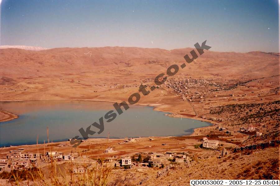
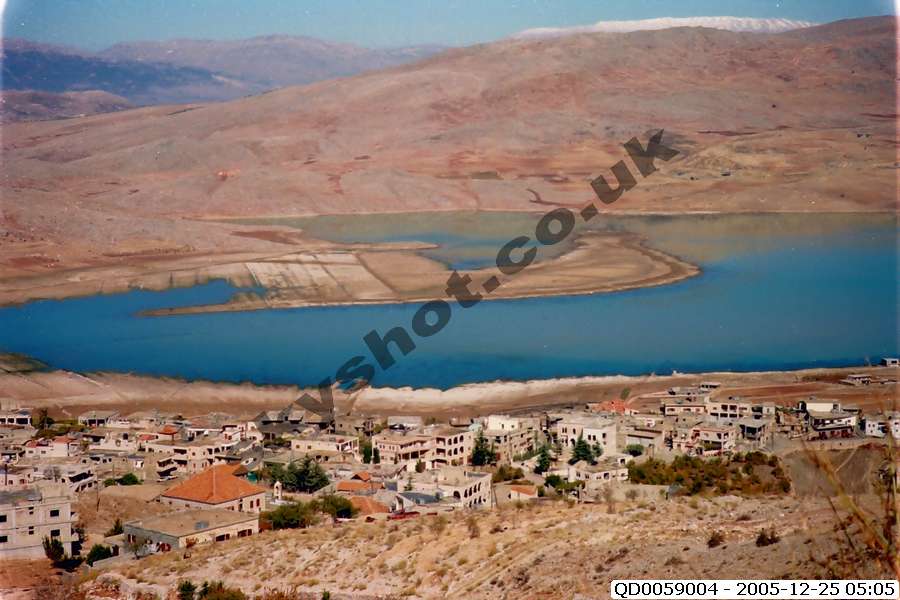
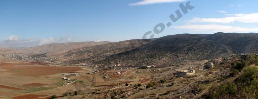
Kharsag or The Garden of Eden to quote it's modern name
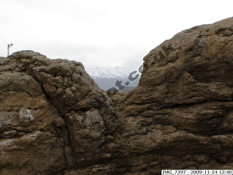
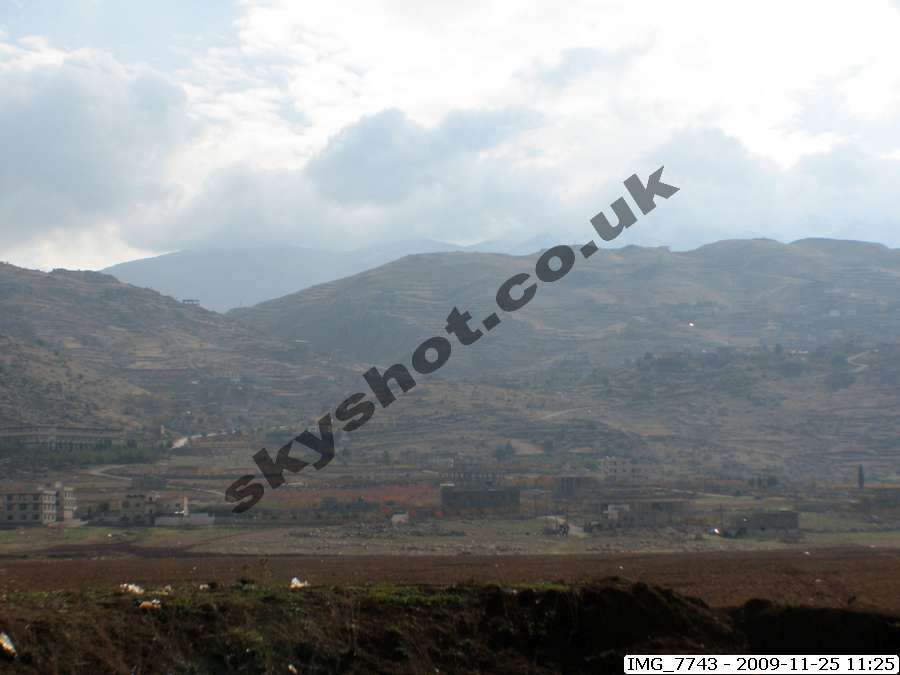
is located 8 miles north of Mt Hermon at the south eastern end
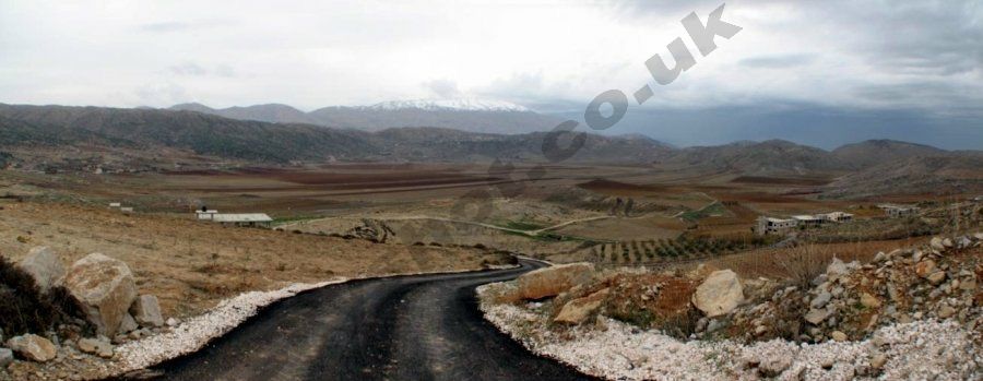
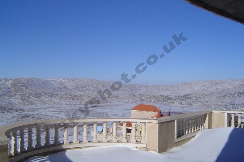
of the Beqaa Rift Valley, which lies between the snow capped
mountains of the Lebanon and Anti-Lebanon mountain ranges - Christian O'Brien
distinguishes the planted Highlands (ha'shemim), from the Lowlands
(arez) within the sheltered and relatively warmer Rift Valley,
running beyond Jericho and the Dead Sea to the Gulf of Akaba
and the Red Sea.
Please bear in mind that Christian O'Brien published the Genius of the Few in 1985, and was not able to visit the site due to the
extended wartime conflicts and the political problems over the last thirty or more years. He had however visited the Lebanon several
times in his lifetime, studying the geology, and was therefore familiar with the wider topography. He used the French ordinance survey map of the area to locate the detailed features described in the Kharsag Epics, together with the totally independent detailed account and descriptions of the area provided by Enoch, also known as Thoth or Hermes.
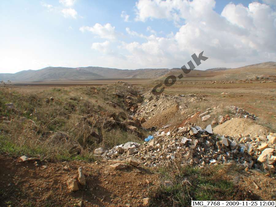
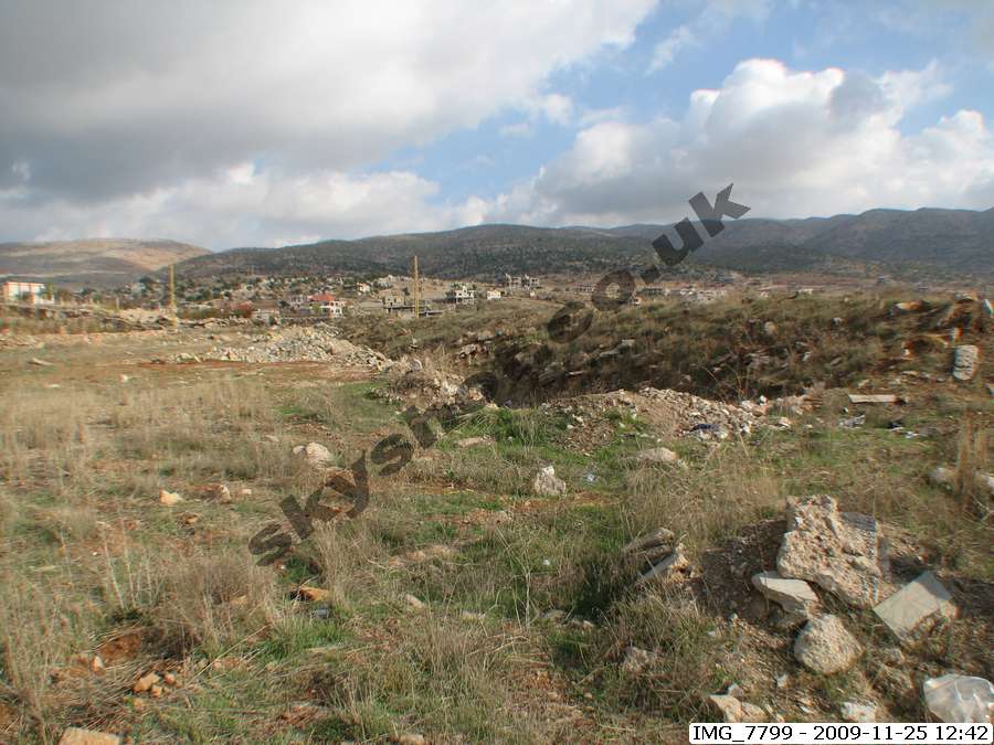
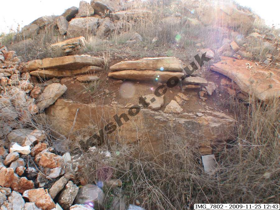
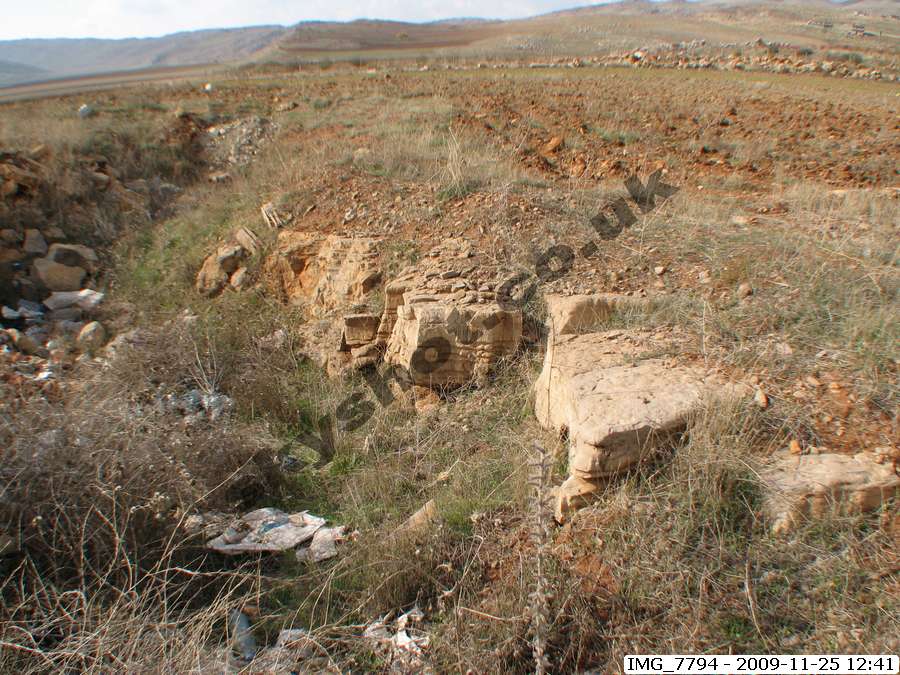
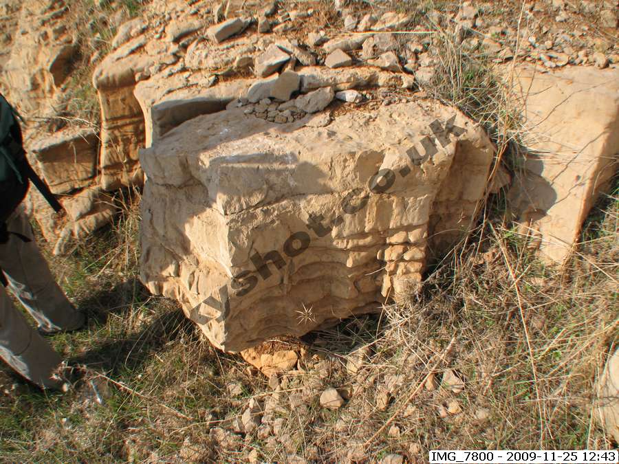
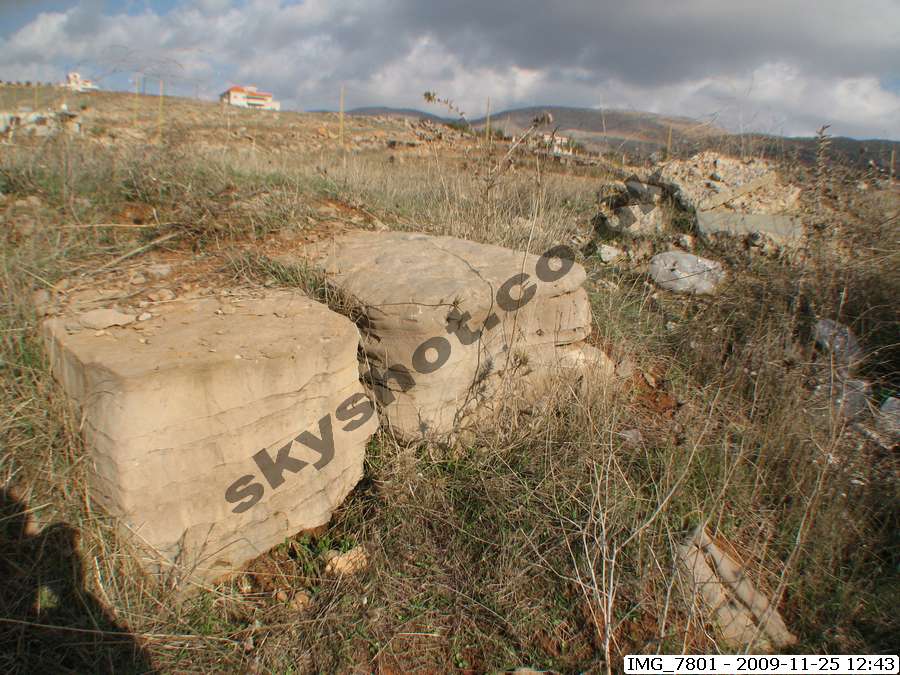
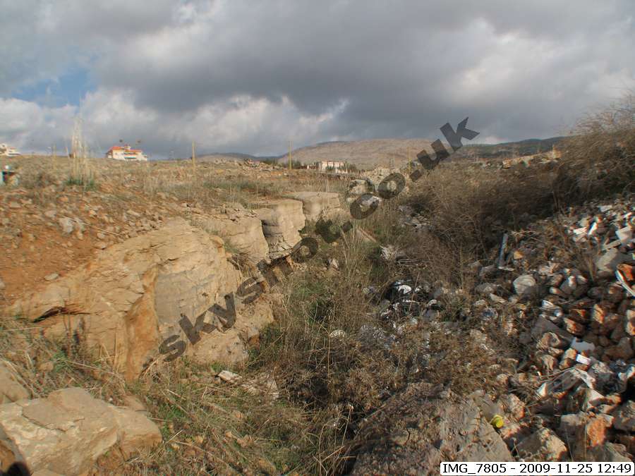
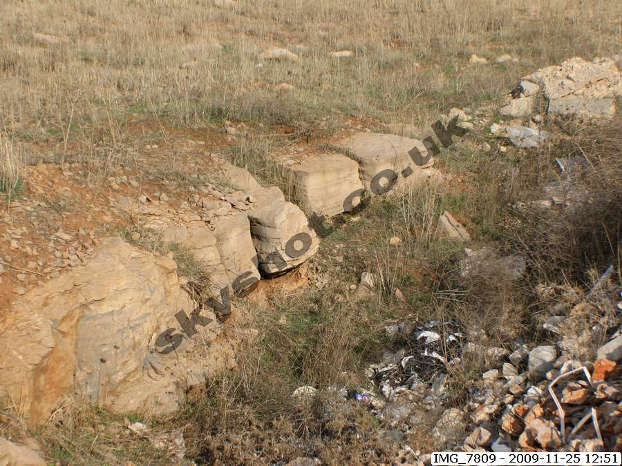
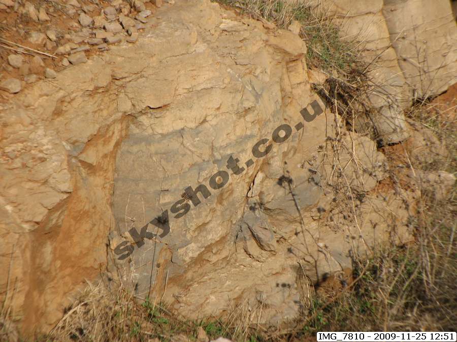
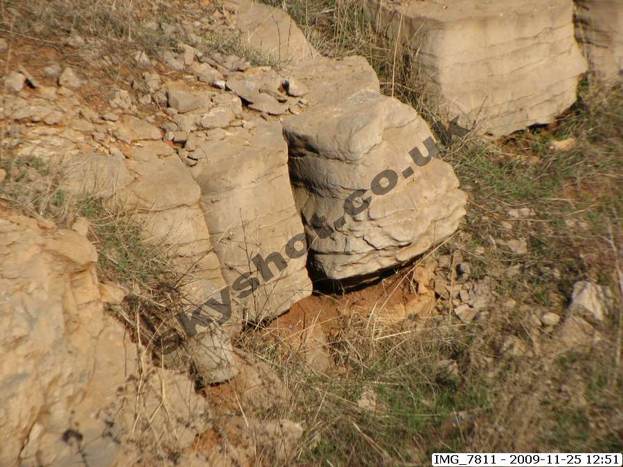
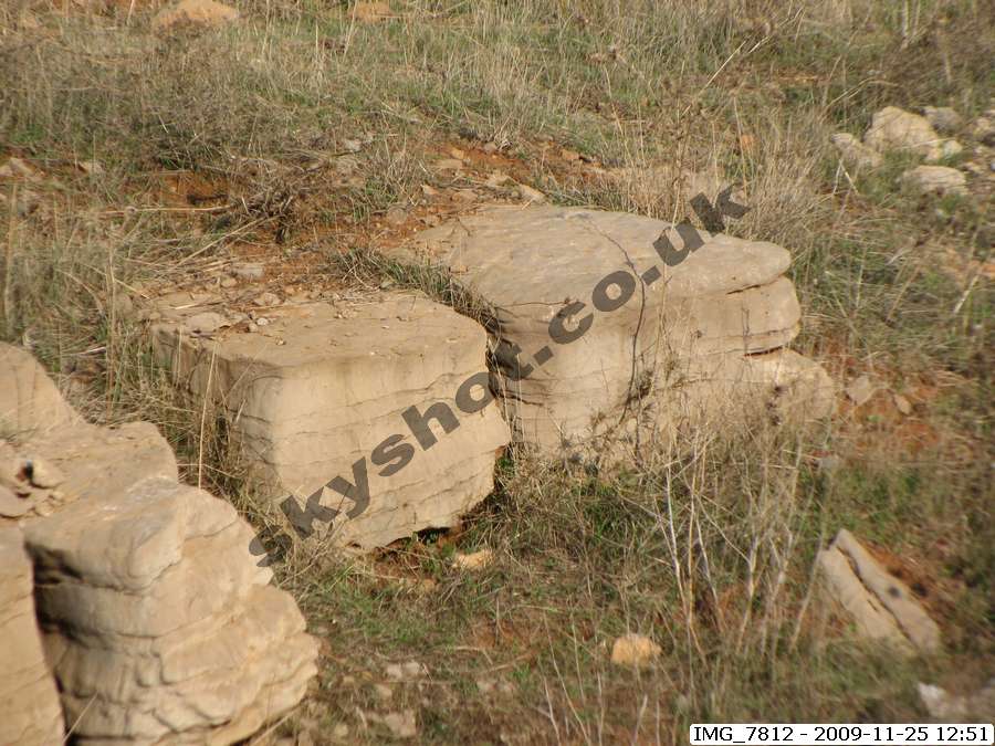
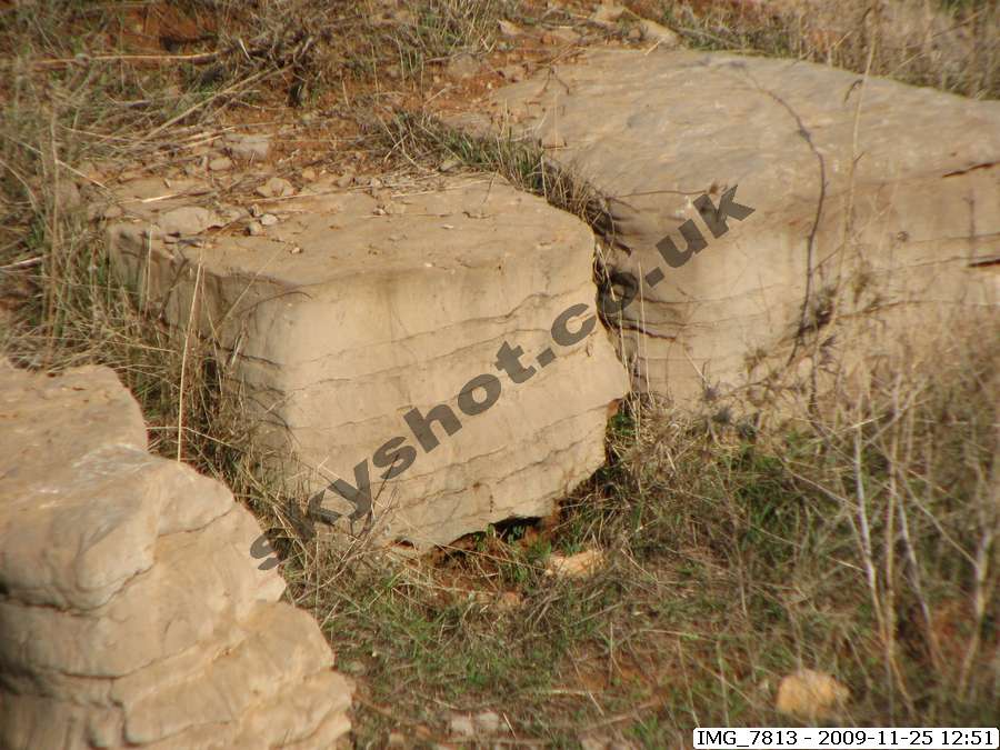
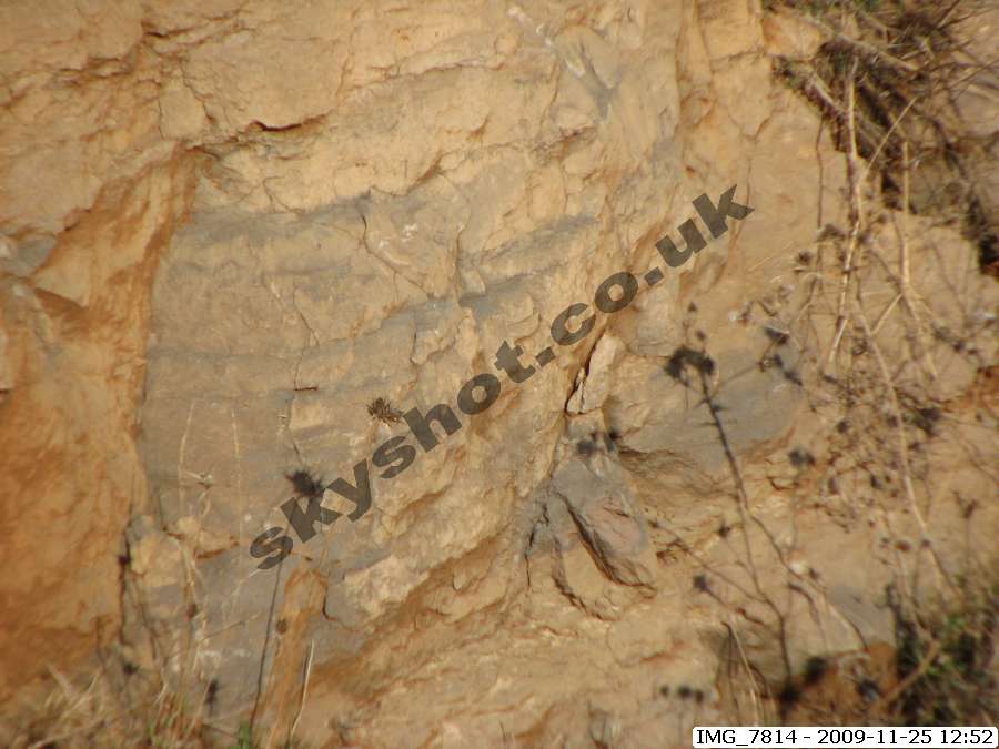
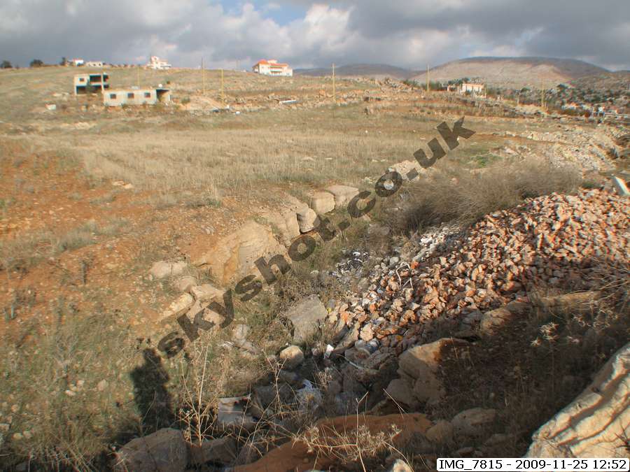
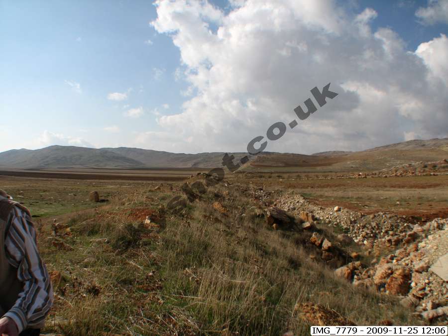
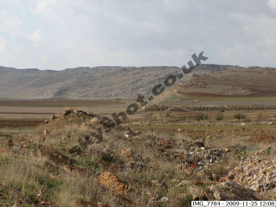
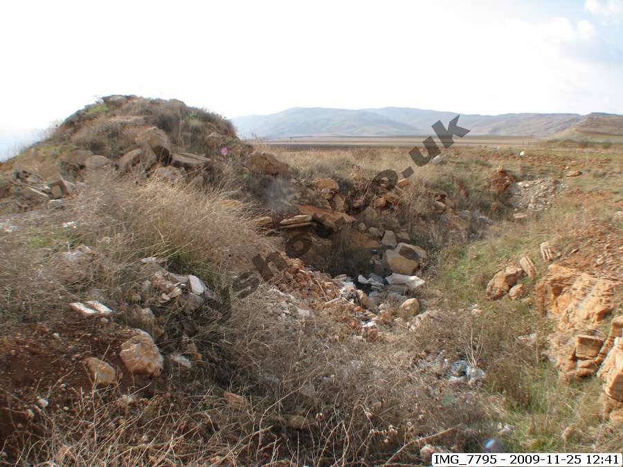
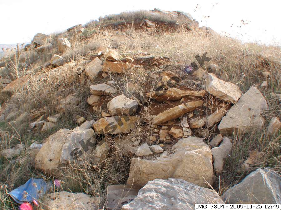
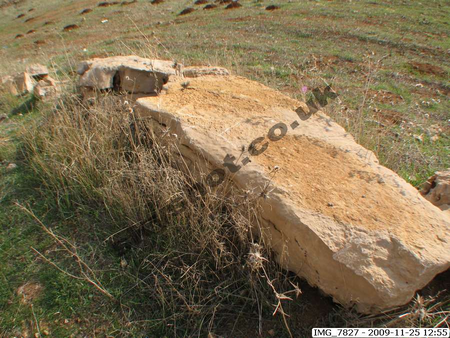
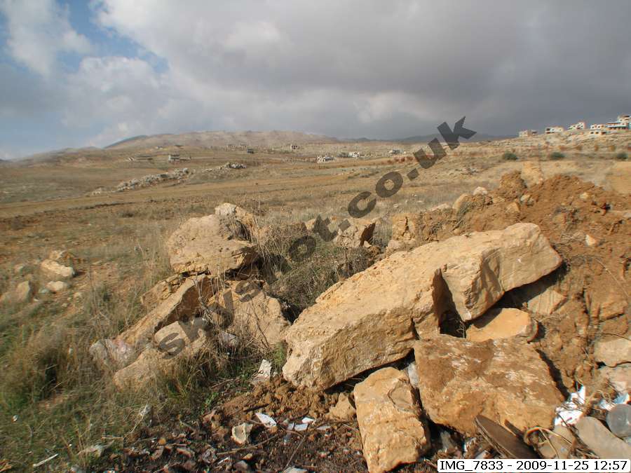
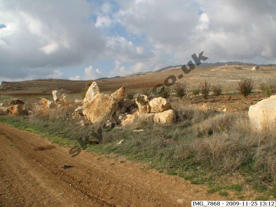
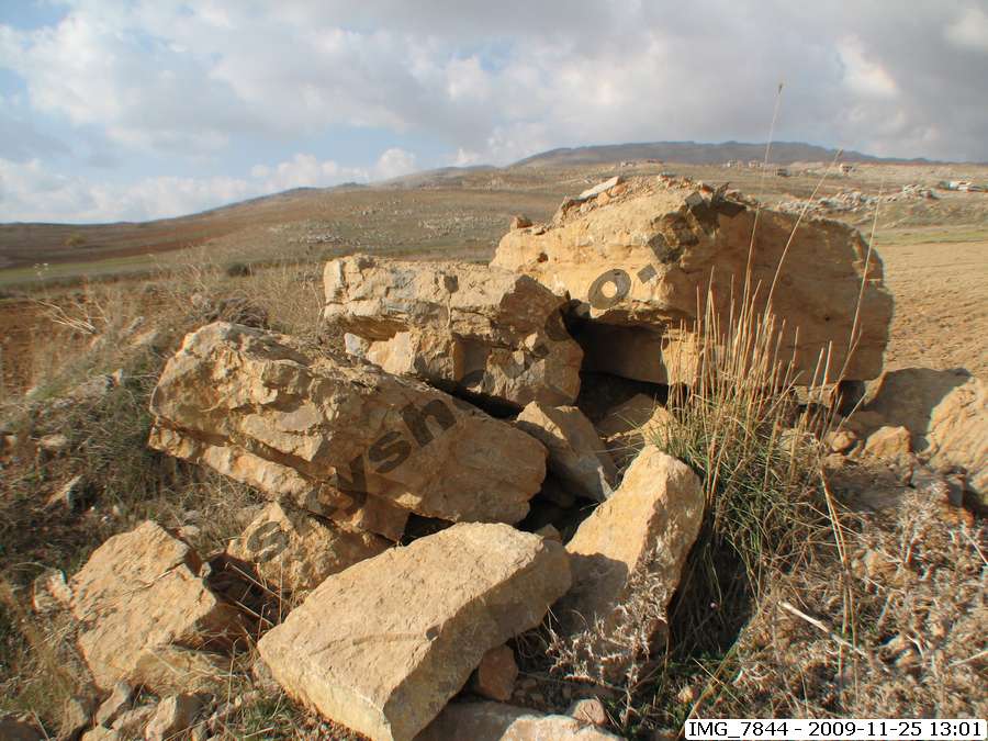
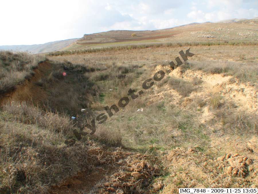
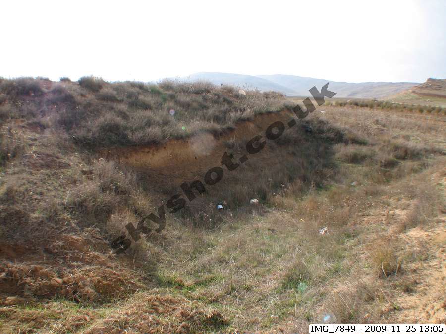
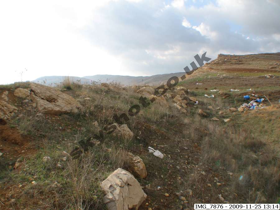
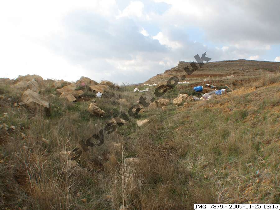
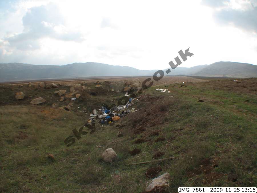
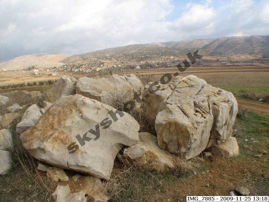
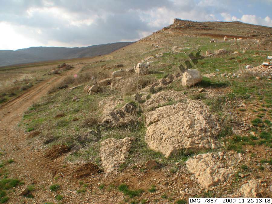
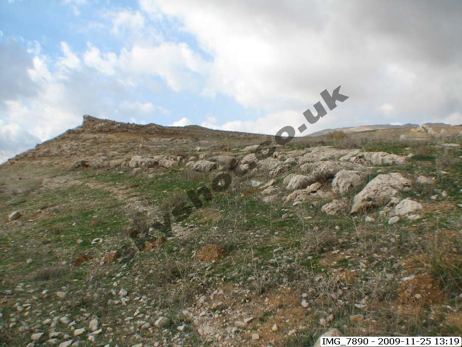
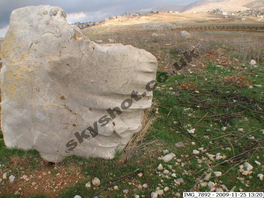
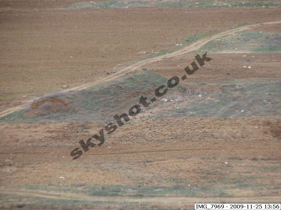
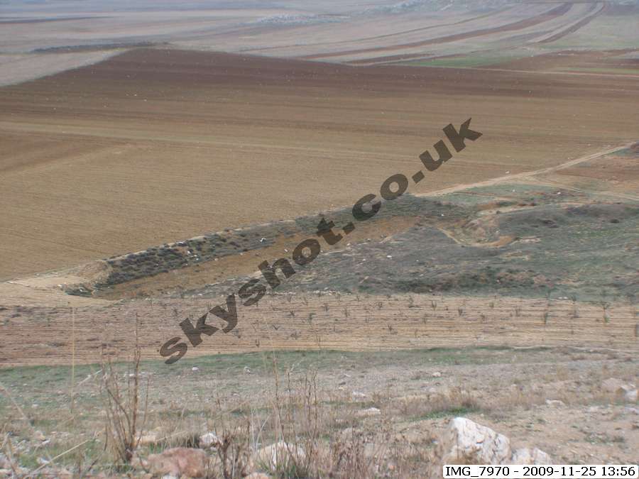
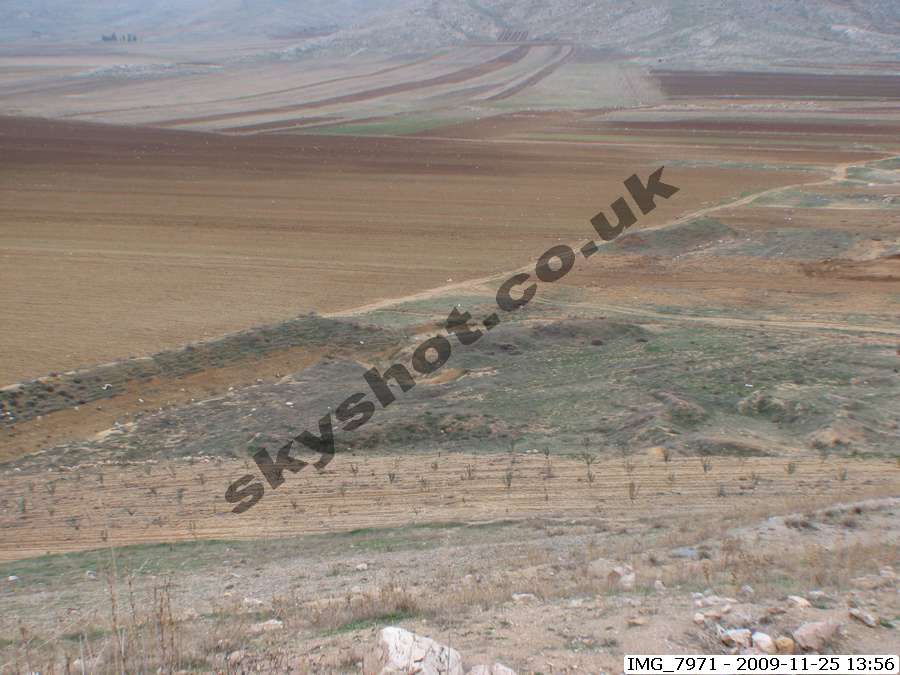
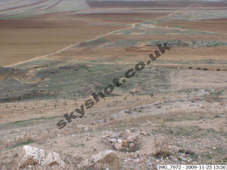
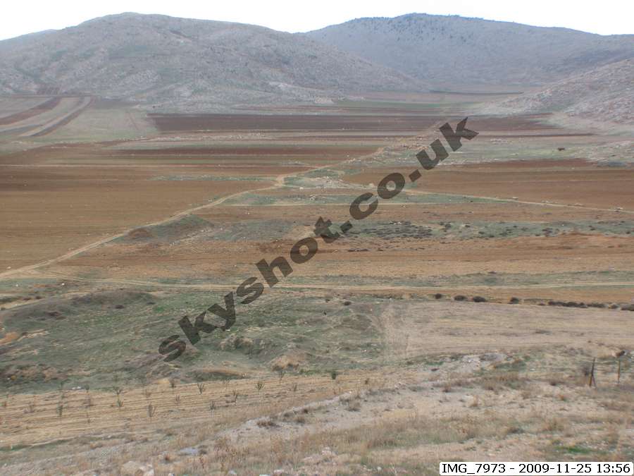
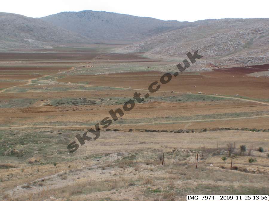
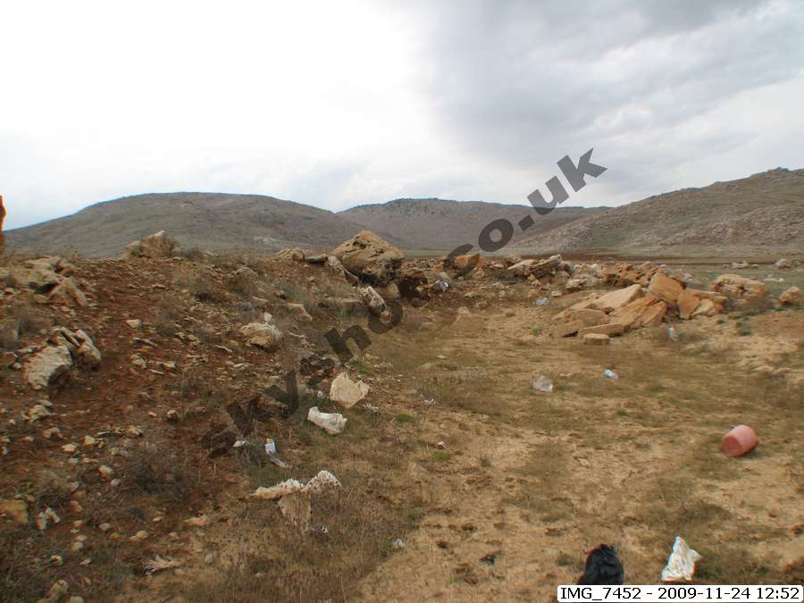
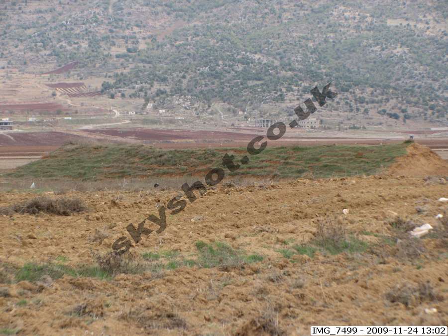
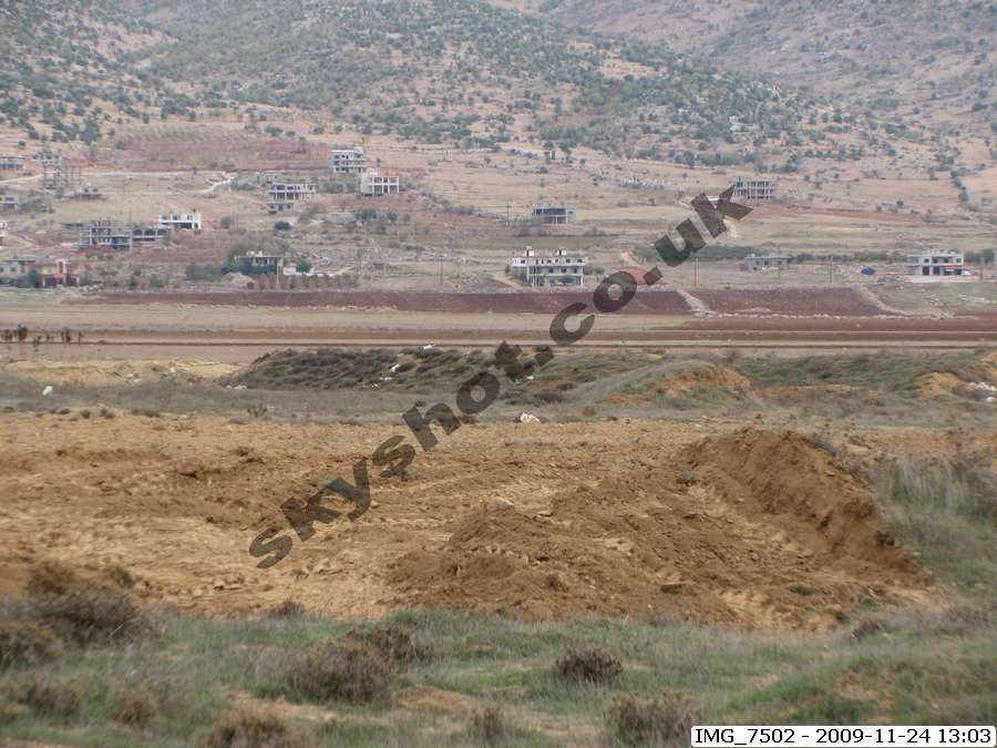
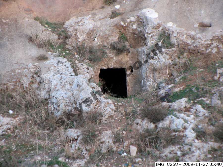
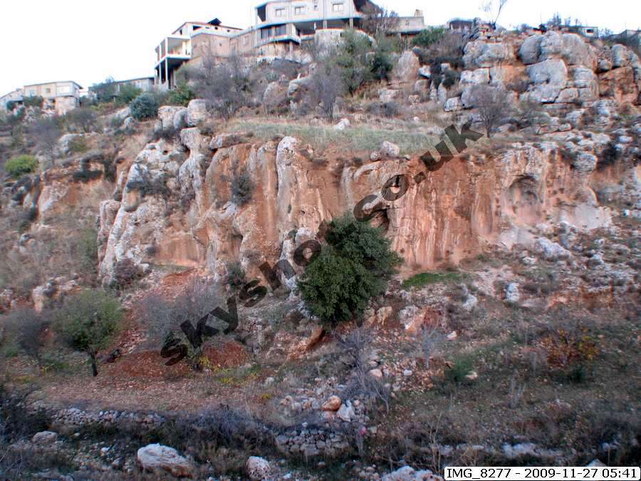
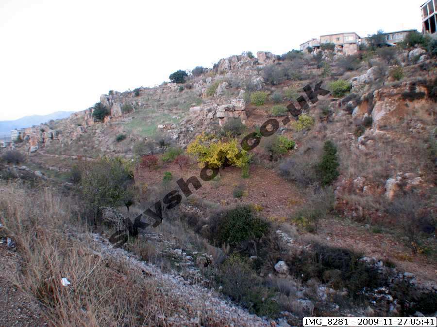
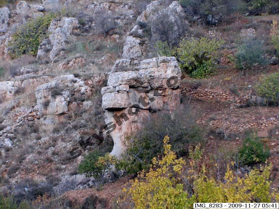
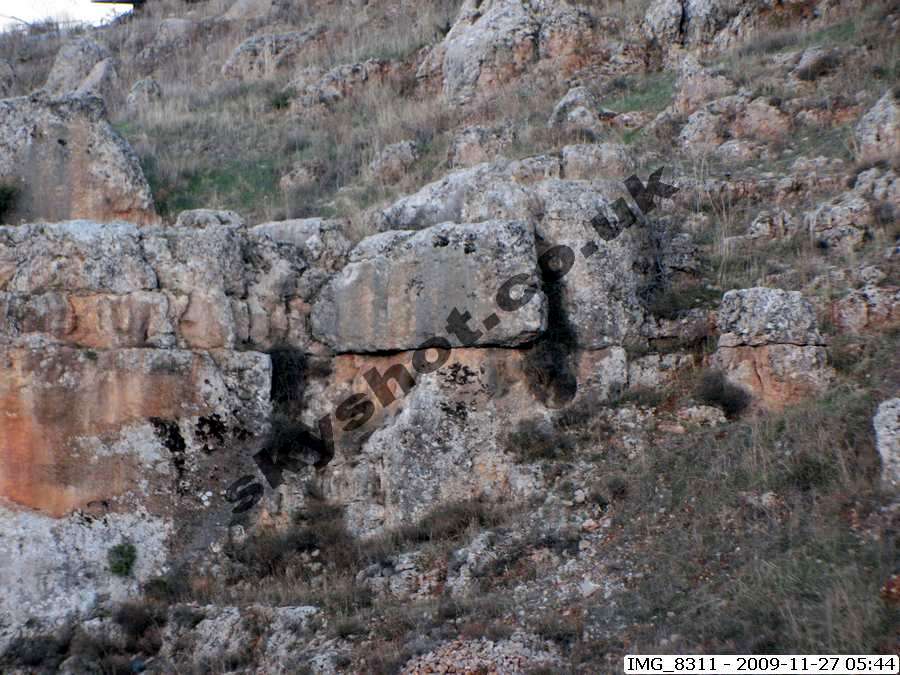
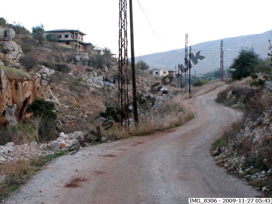
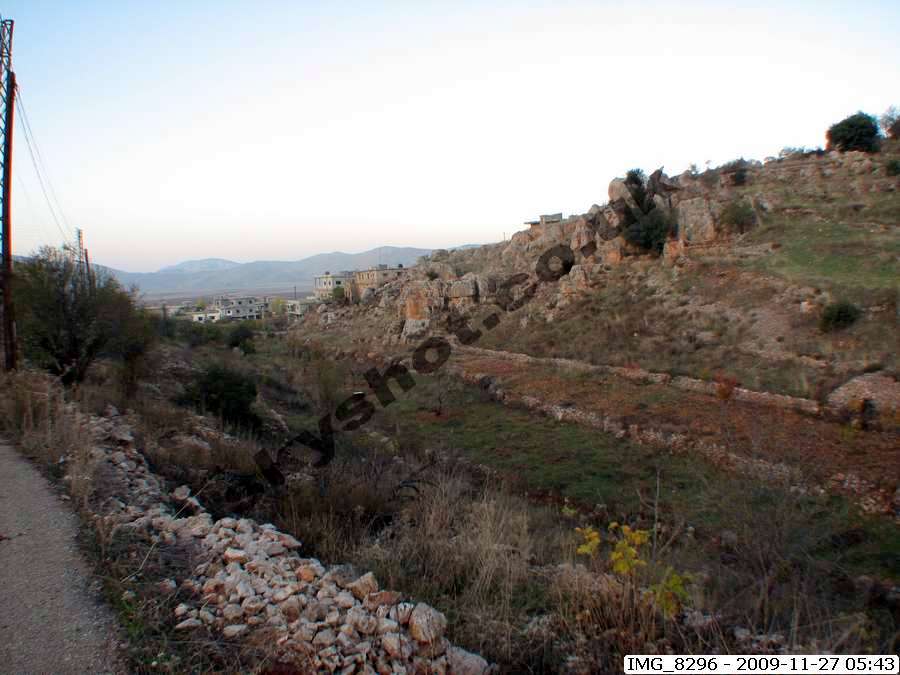
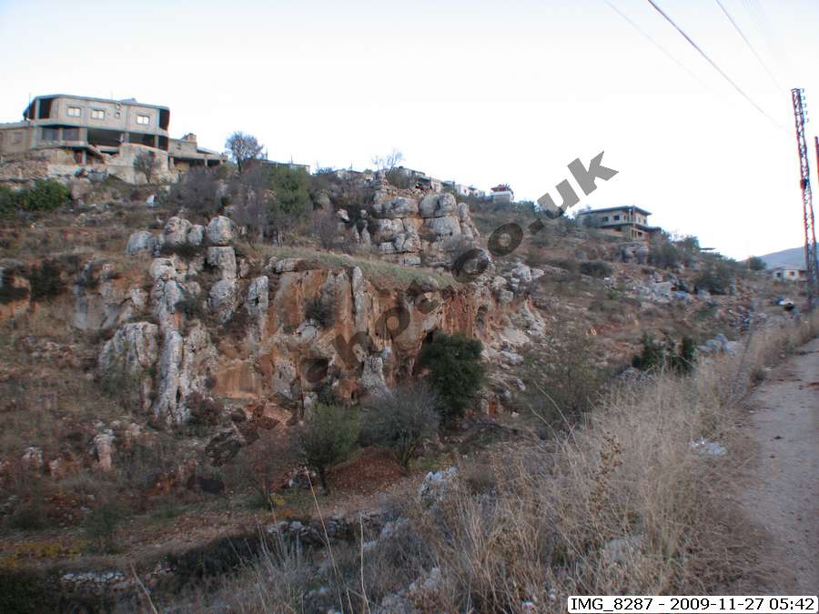
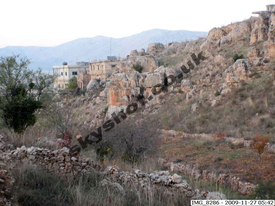
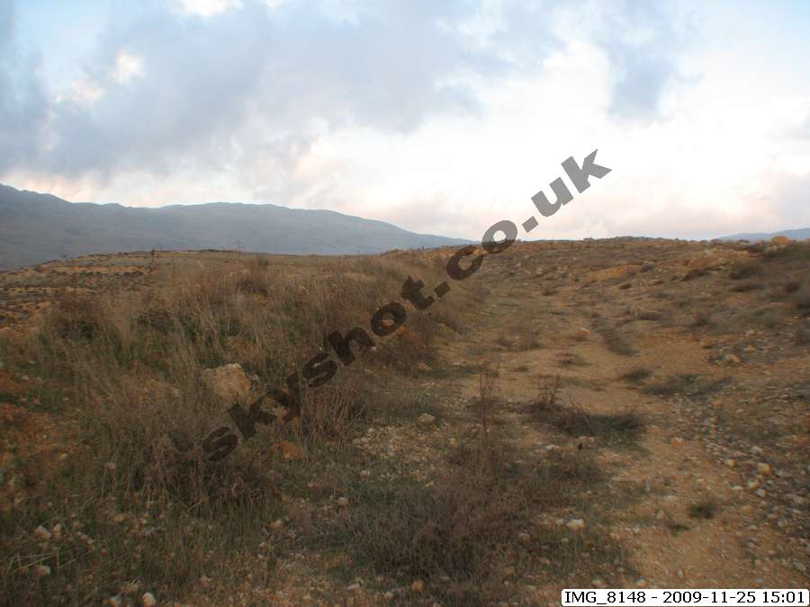
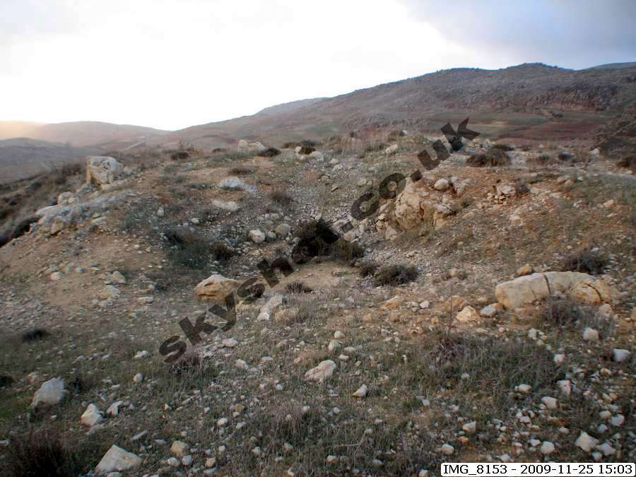
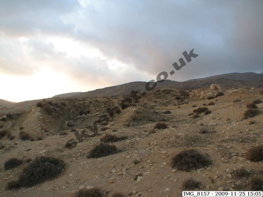
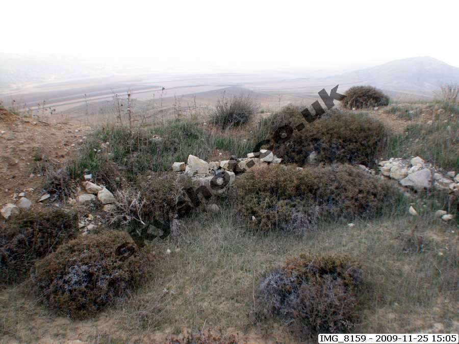
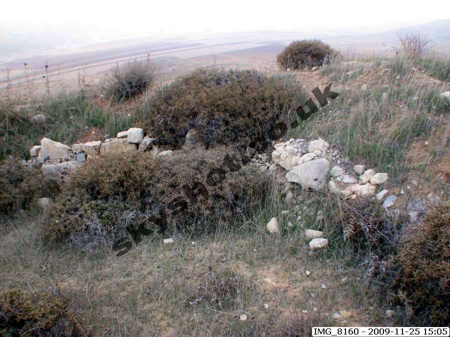
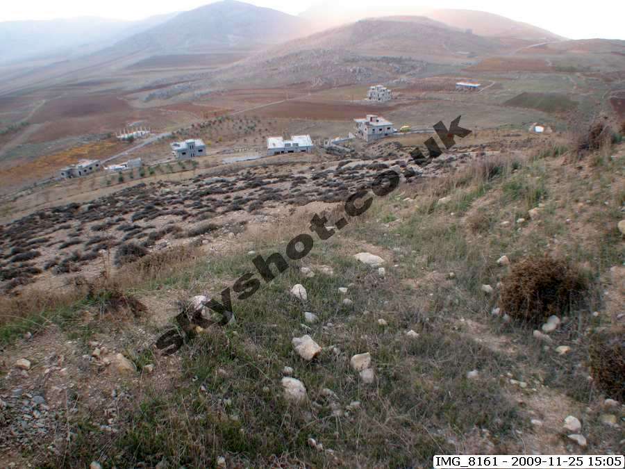
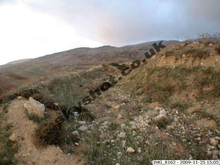
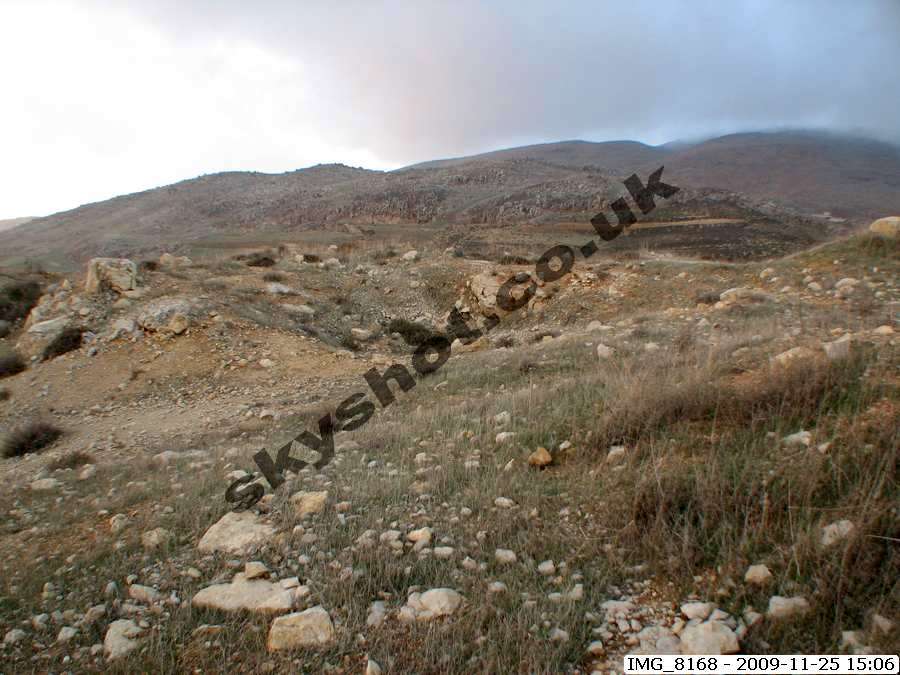
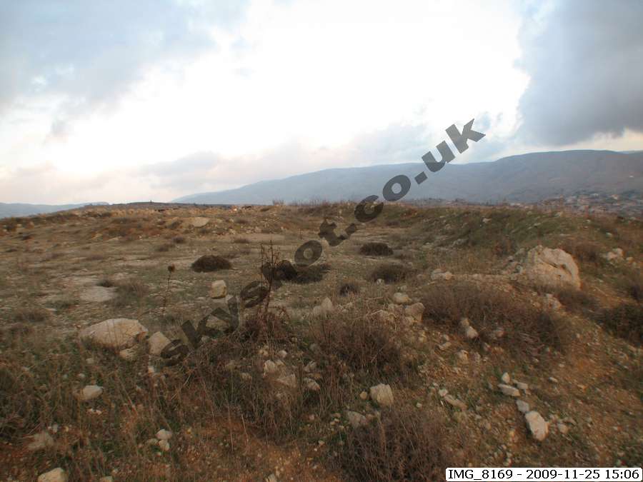
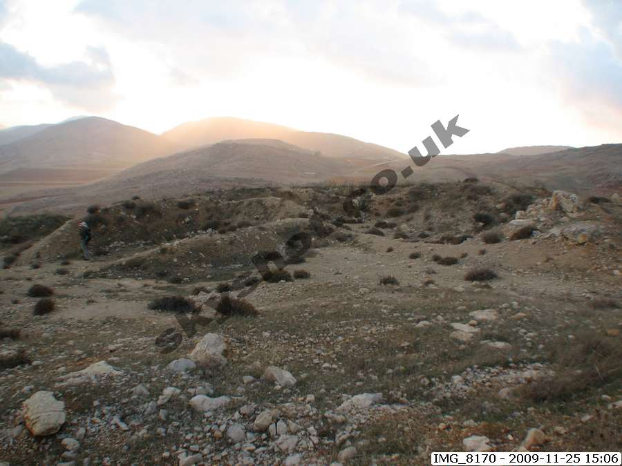
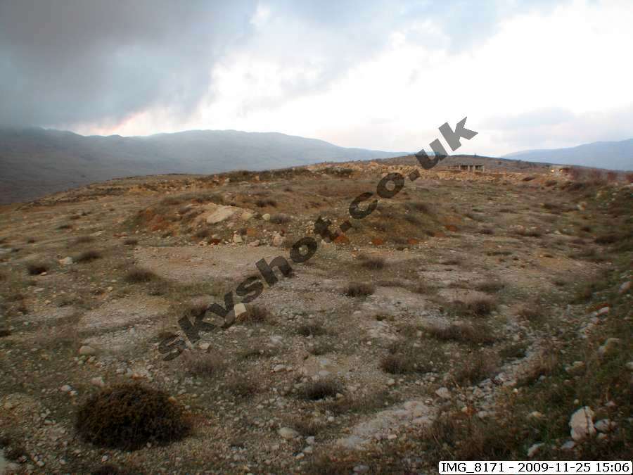
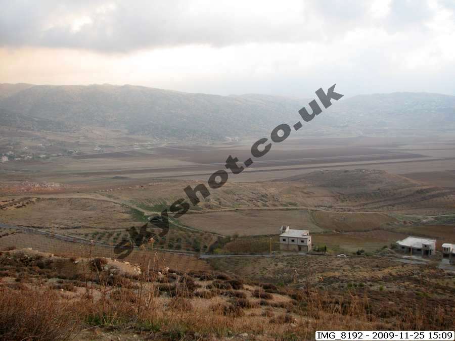
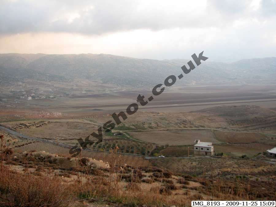
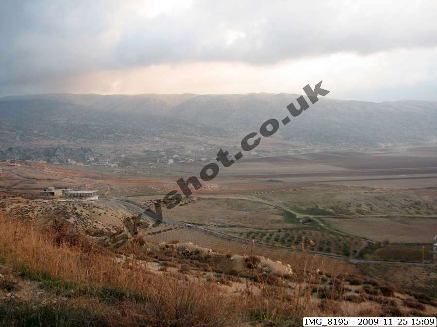
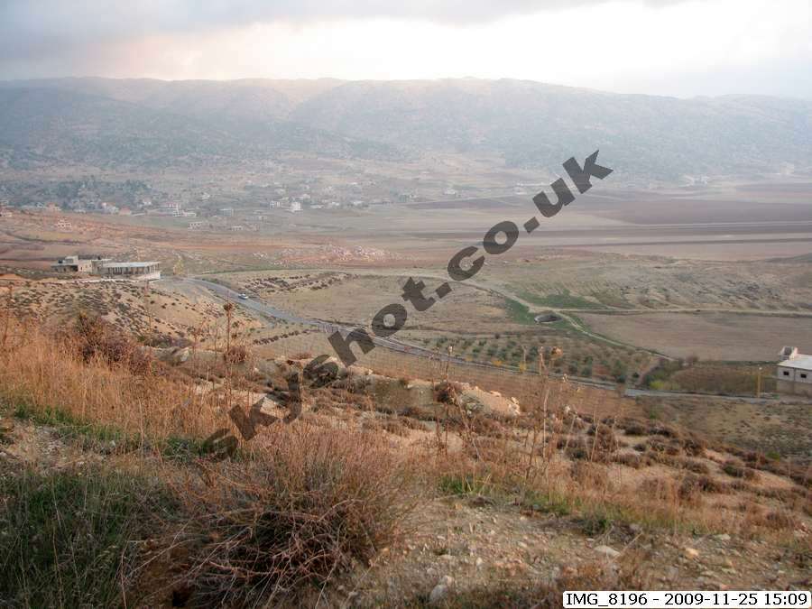
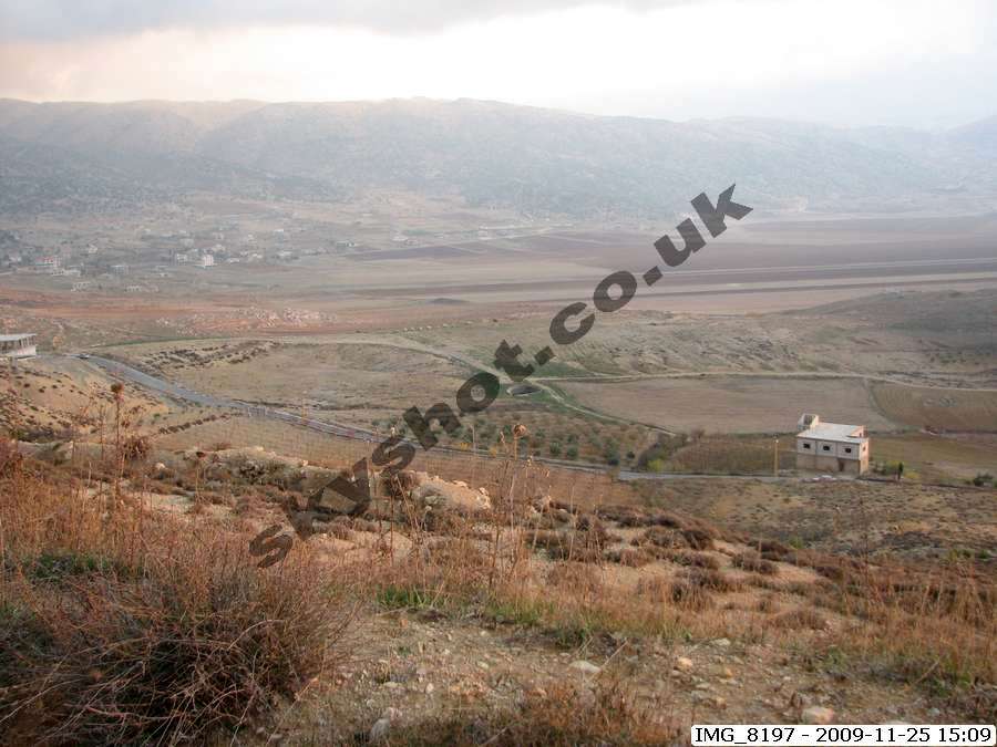
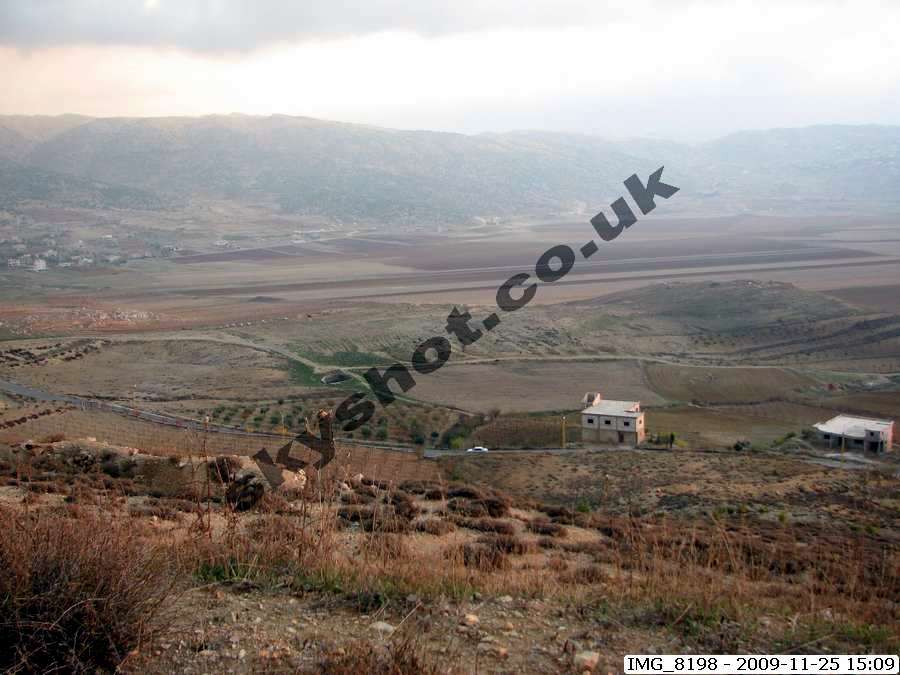
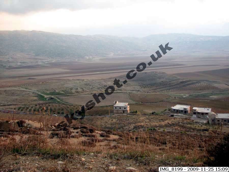
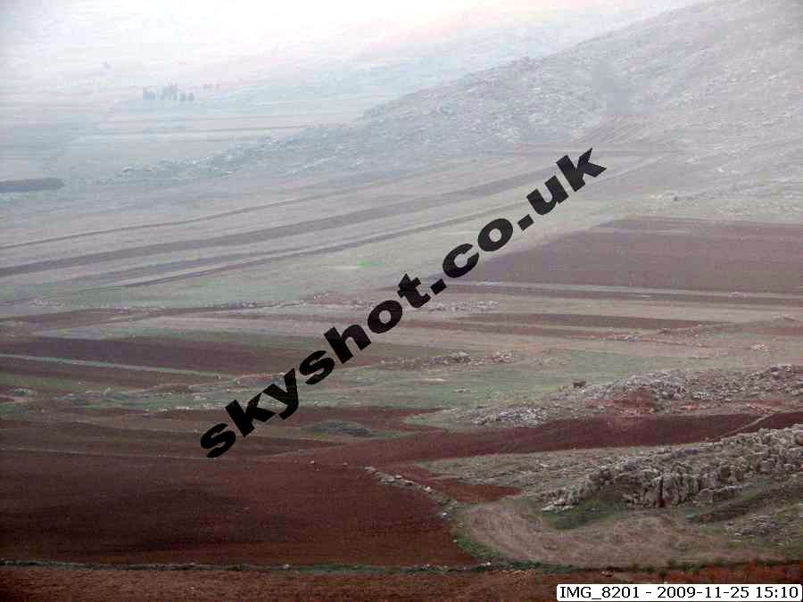
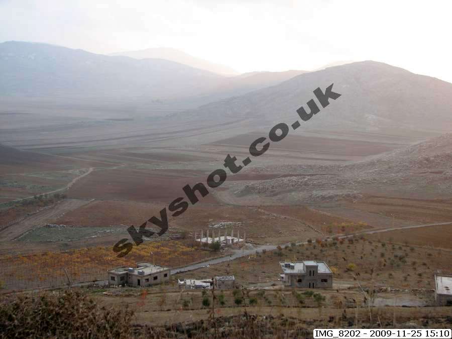
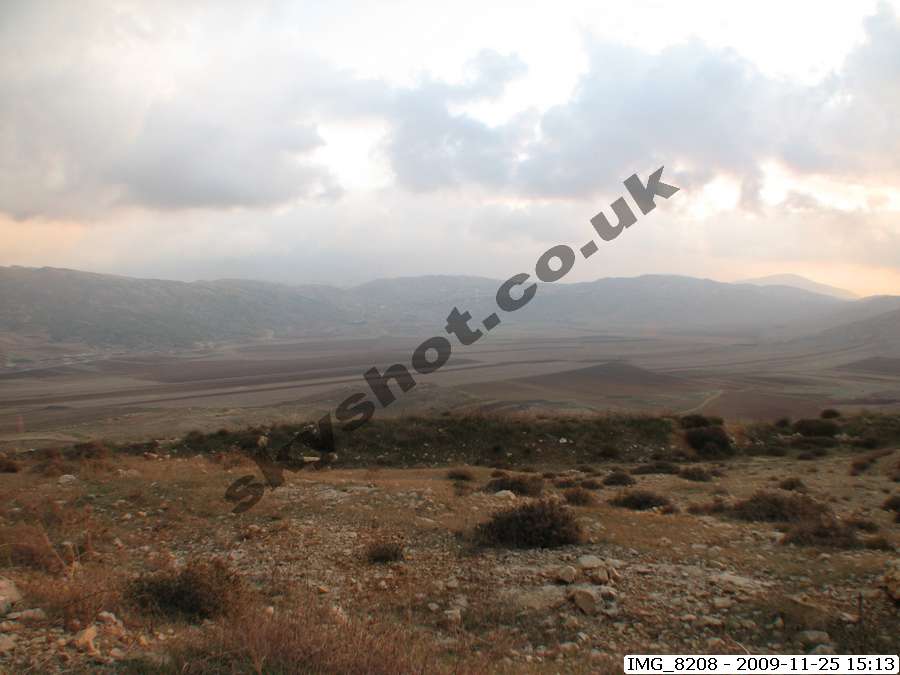
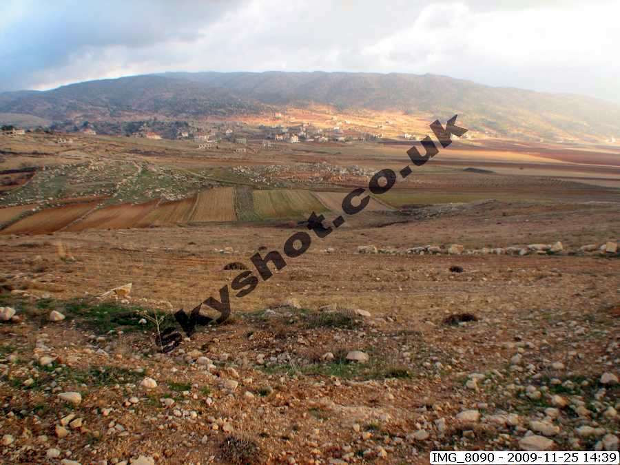
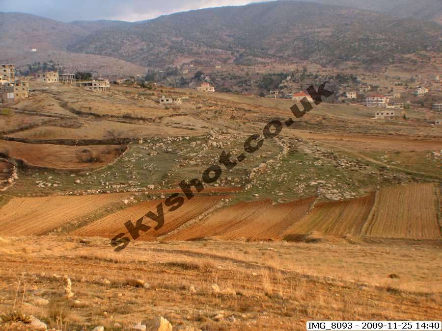
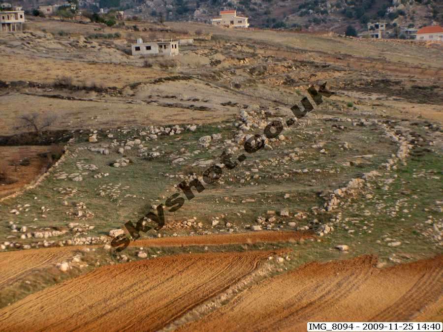
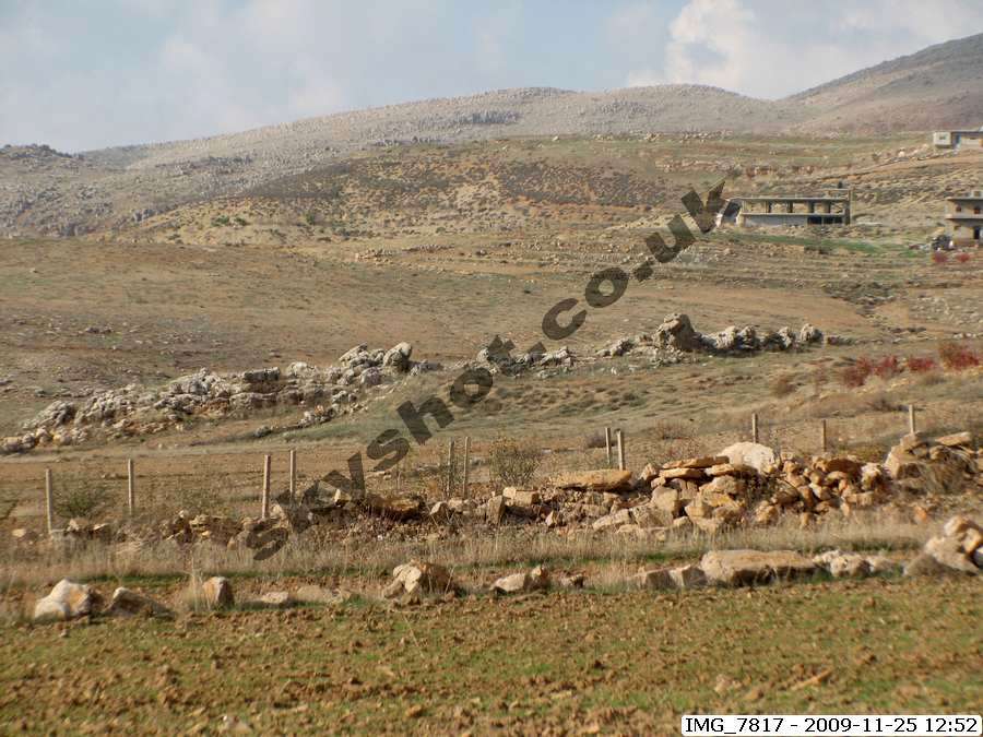
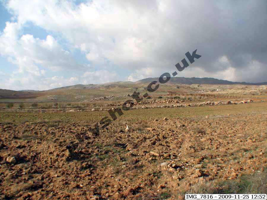
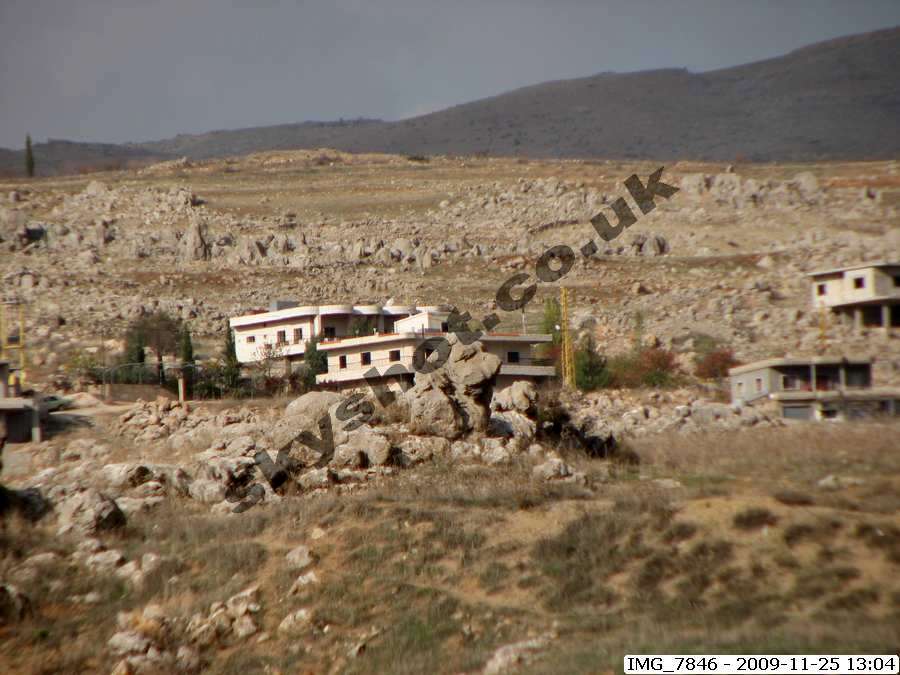
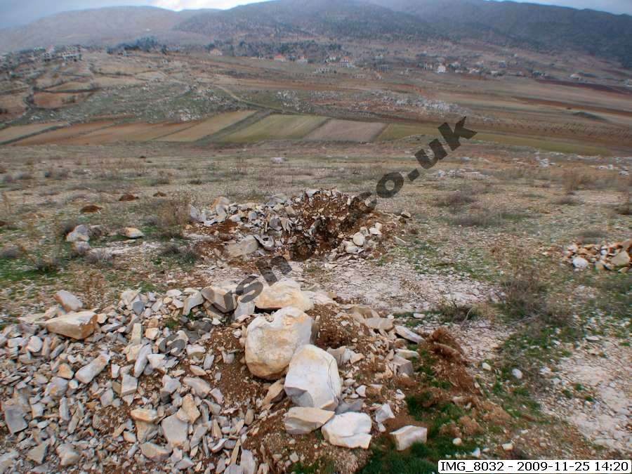
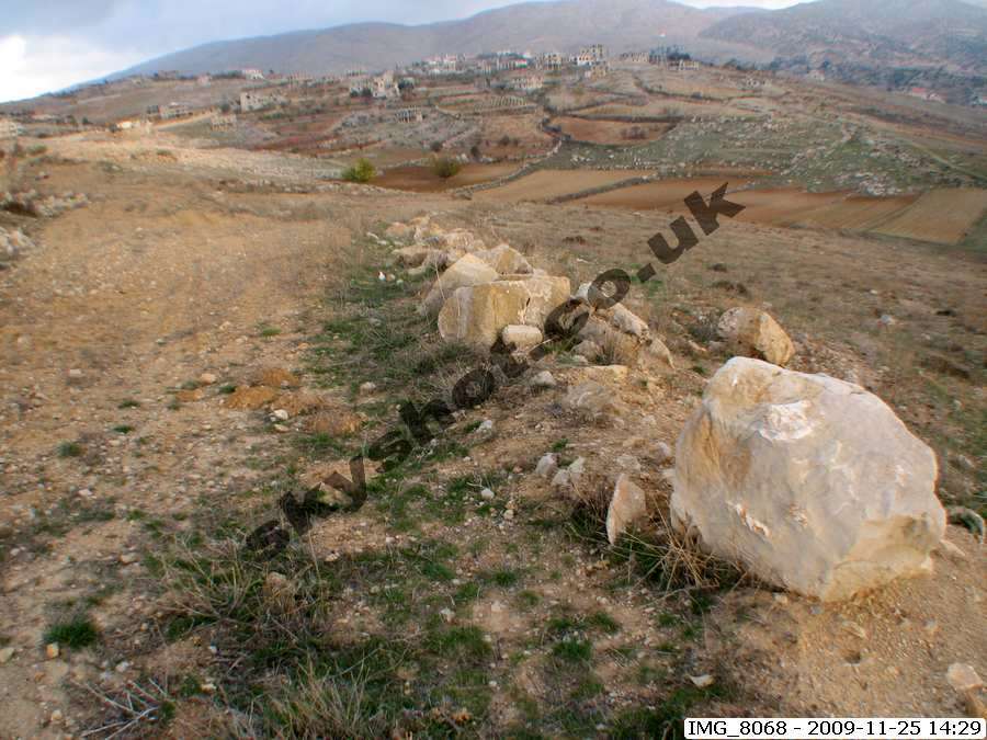
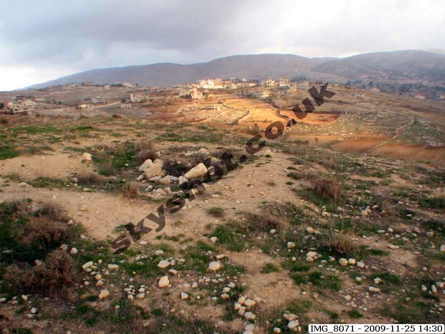
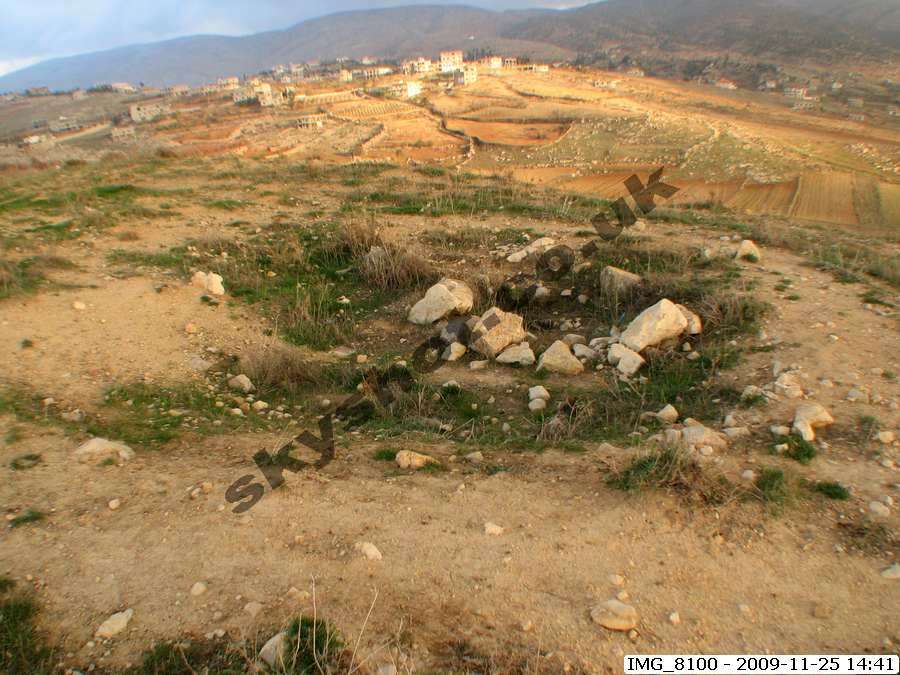
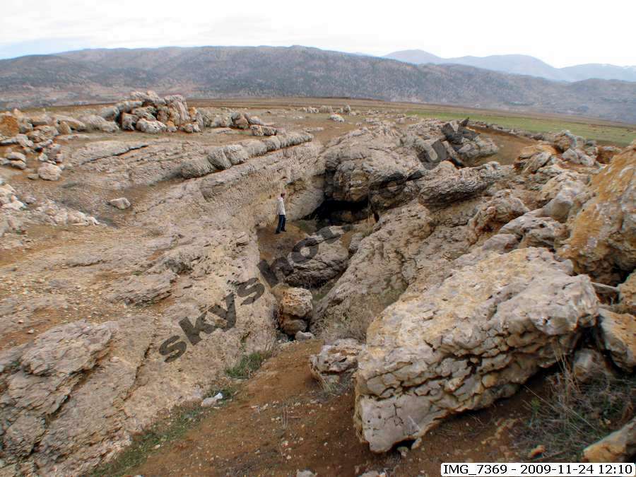
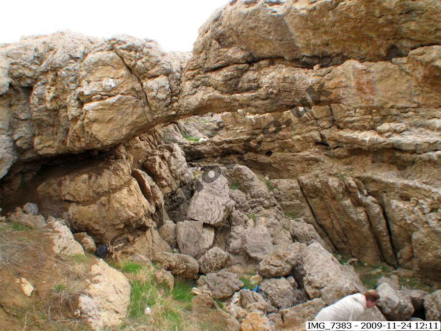
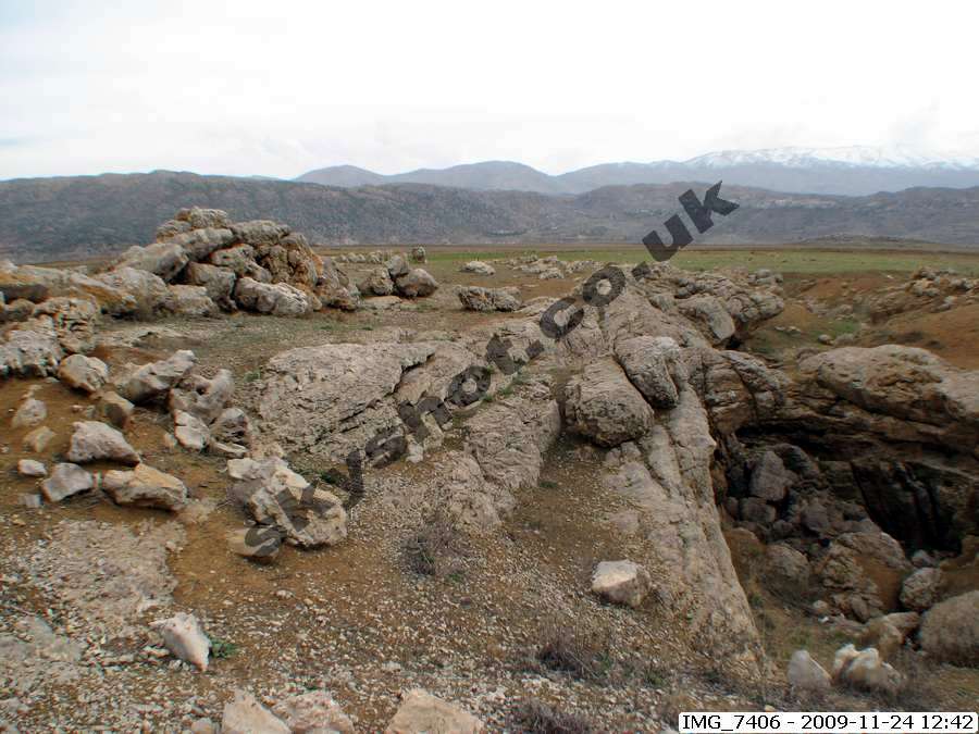
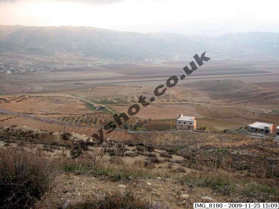
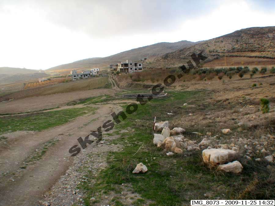
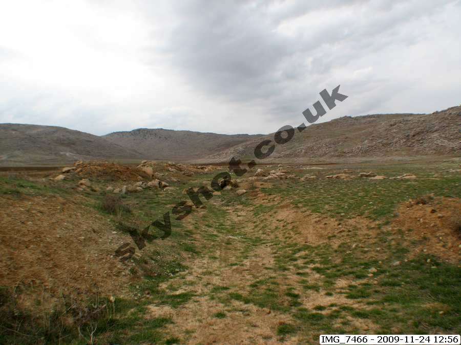
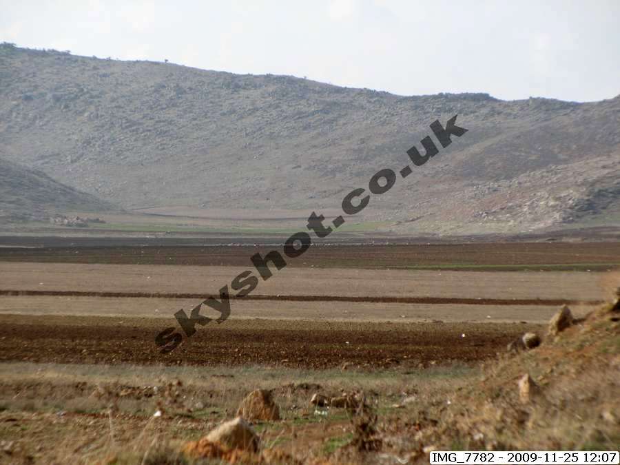
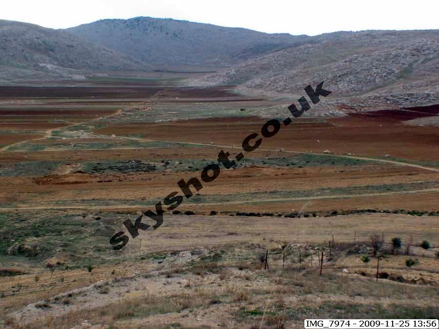
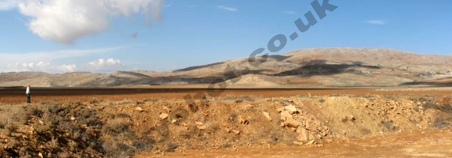
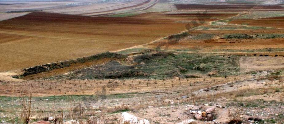
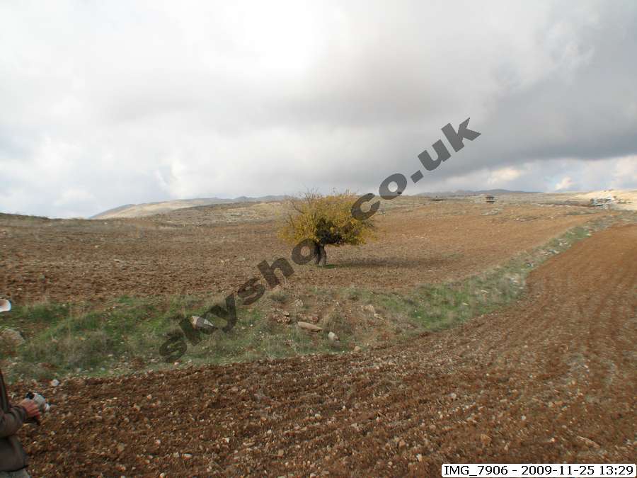
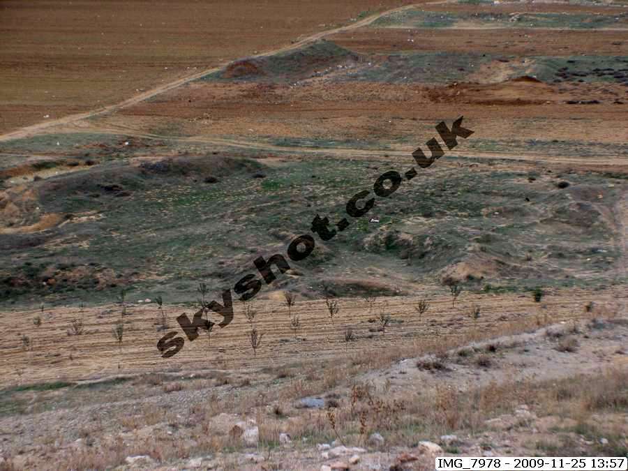
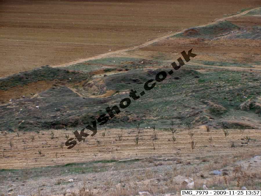
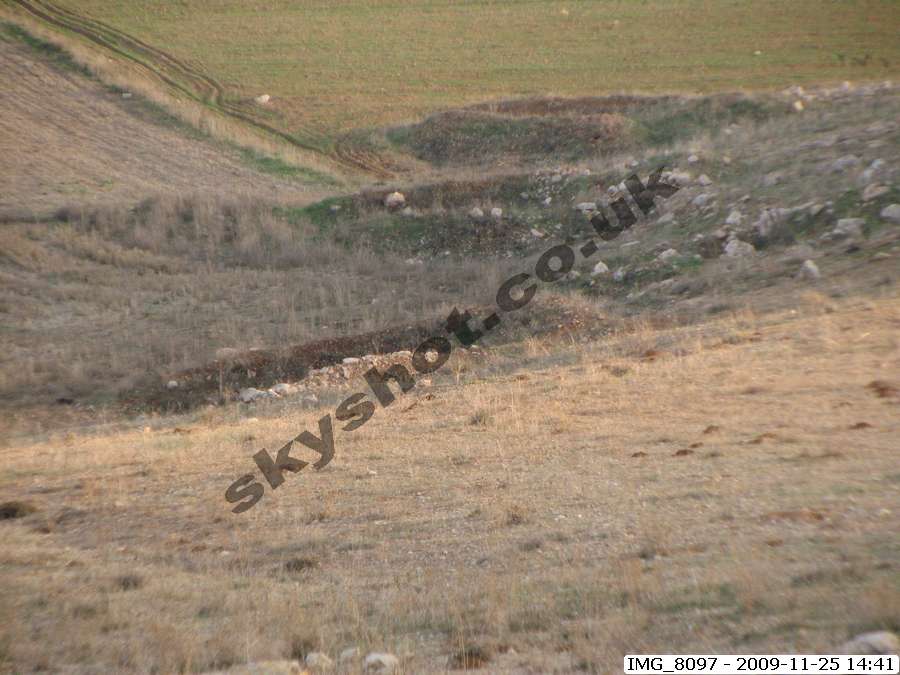
Our site survey in November 2009, both confirmed the accuracy of his conclusions, and also gave us the opportunity to inspect detailed
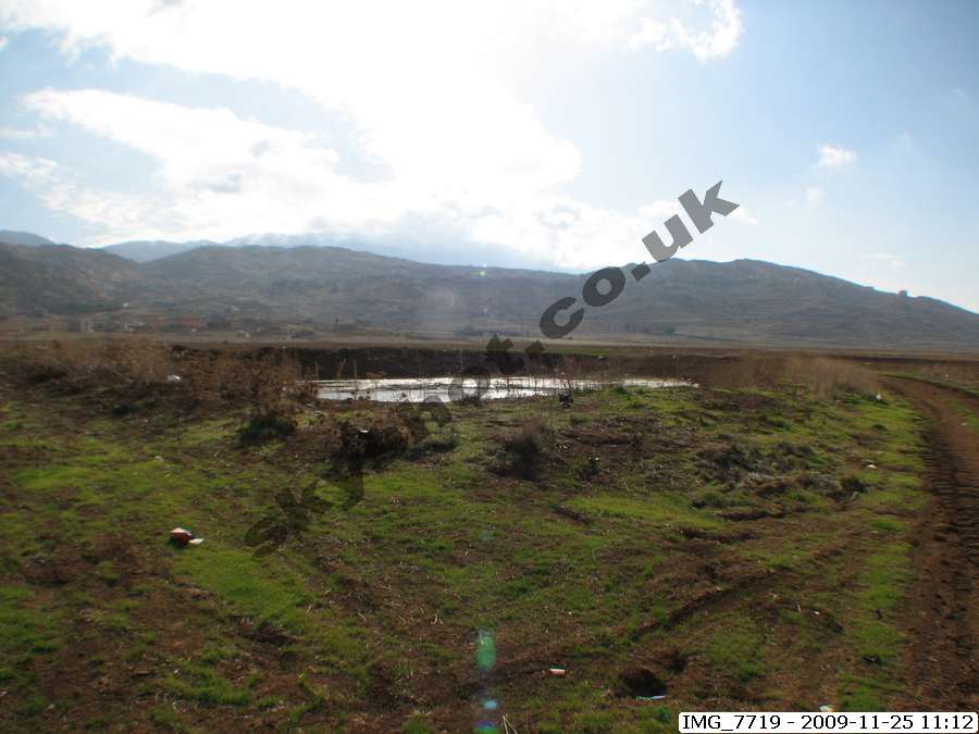
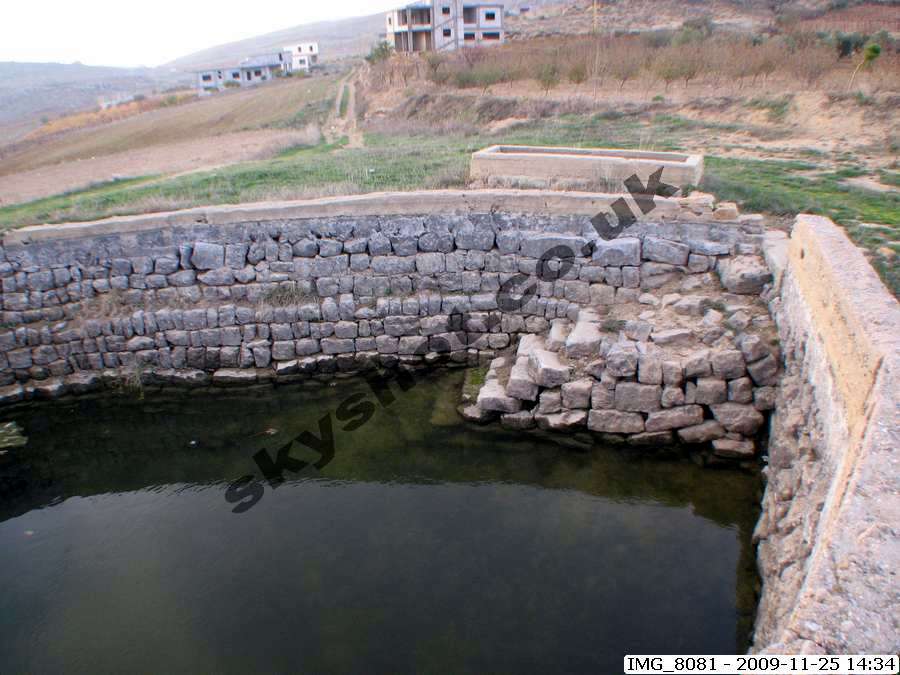
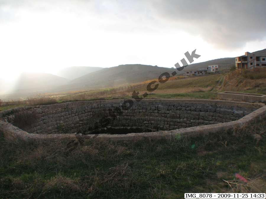
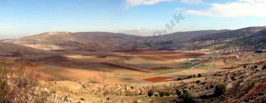
features giving further support to the technical sophistication deployed. The Great Watercourse, which took surplus snow melt water away
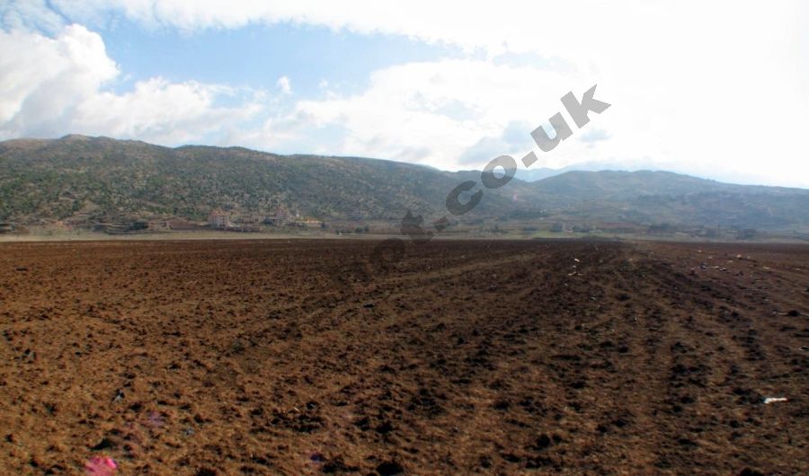
from the level southern basin, enabling agriculture in the first six months of the year, was a mile and a quarter long, cut through solid limestone.
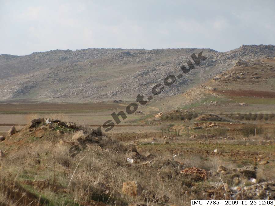
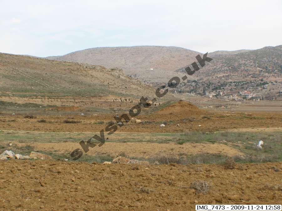
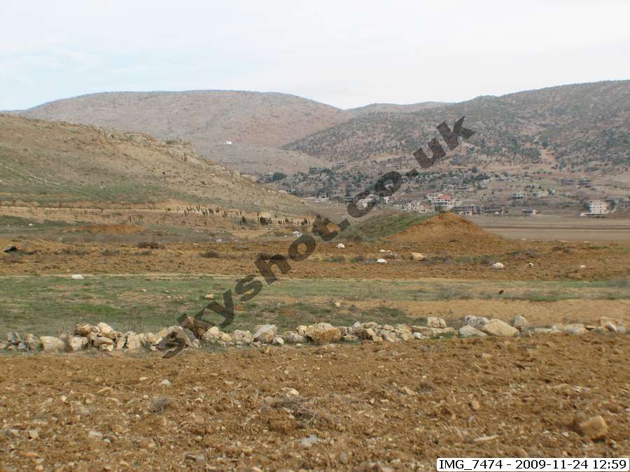
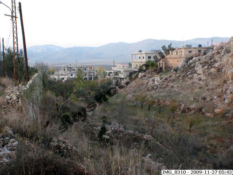
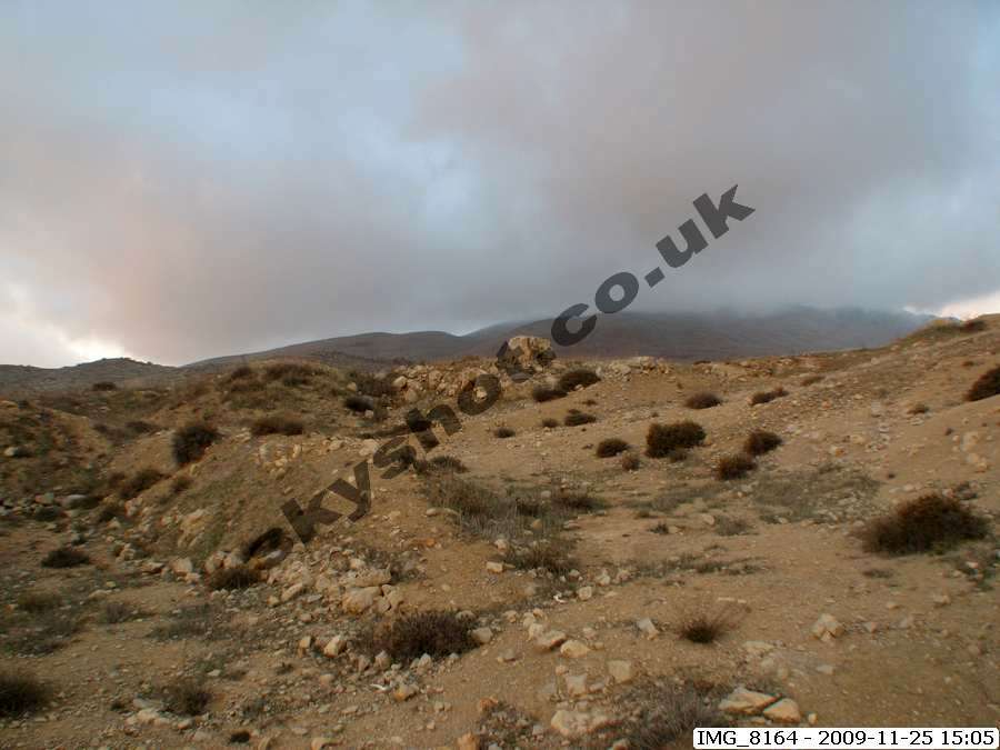
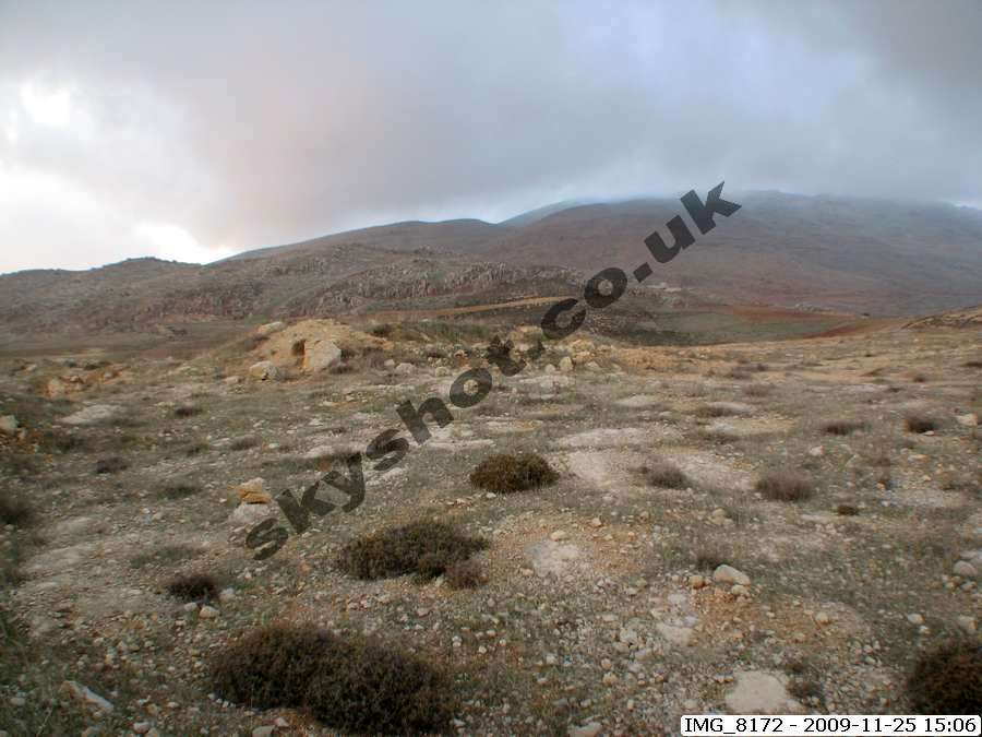
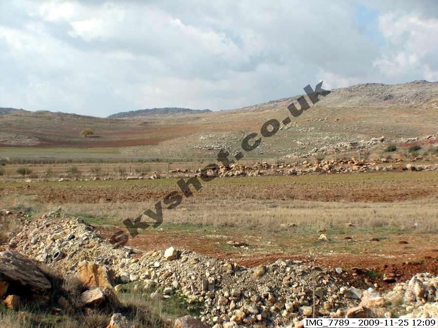
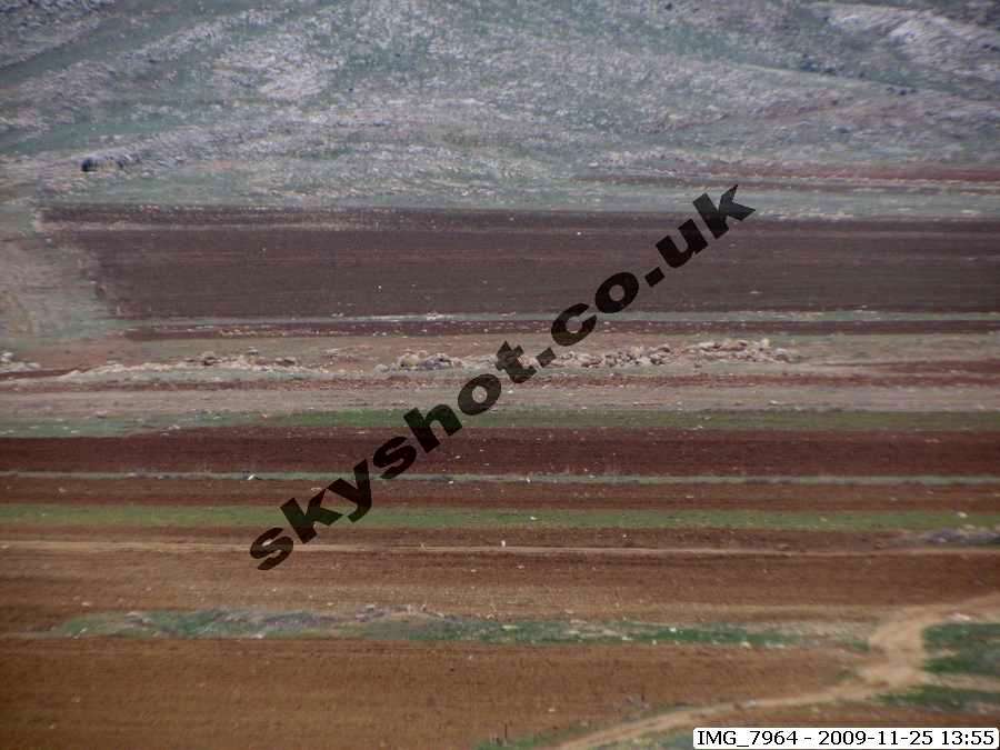
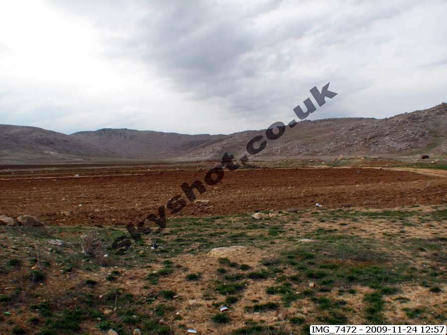
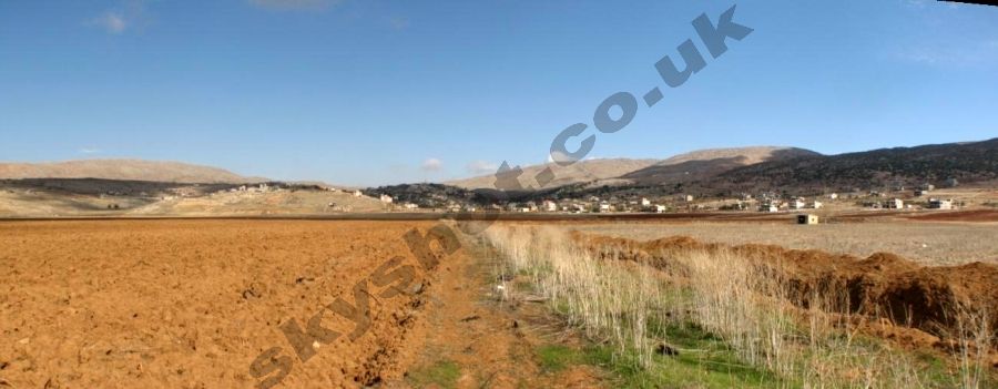
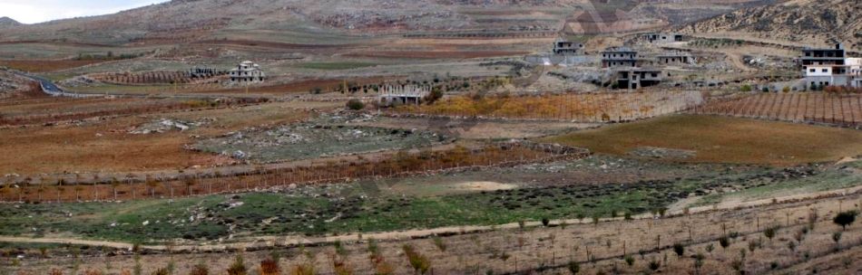
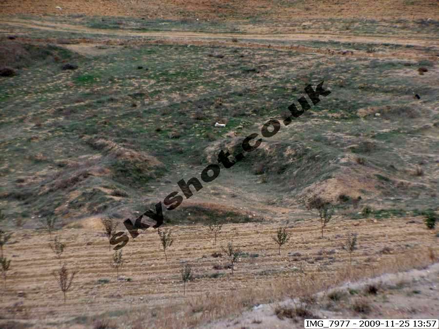
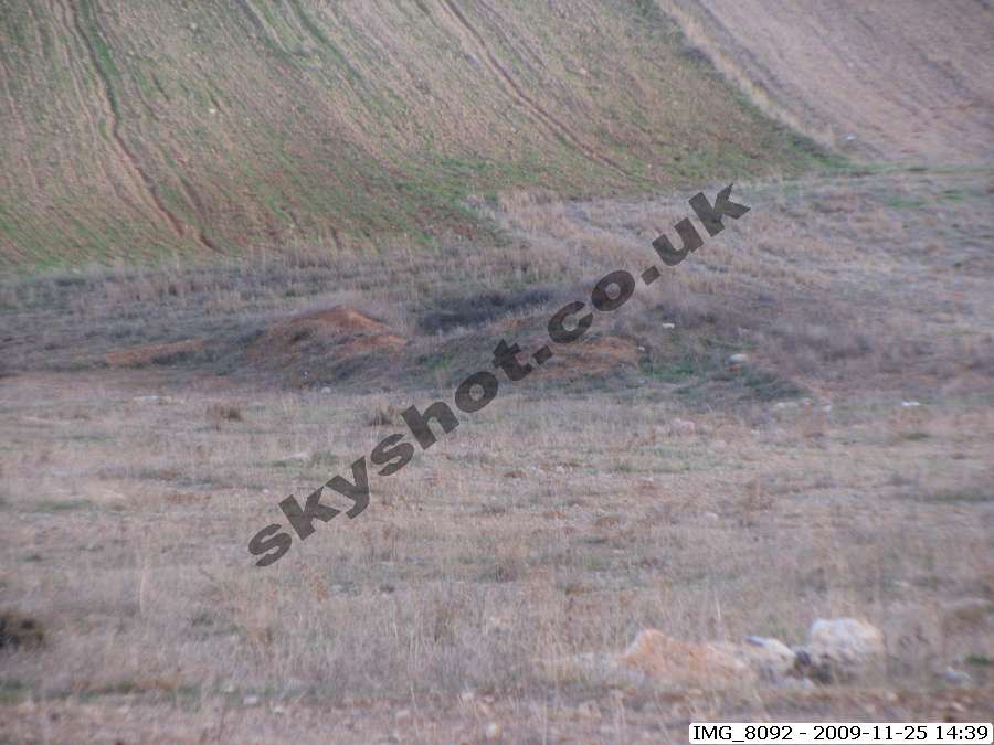
The comprehensive provision of water supplies on the south facing slope above the basin, serving houses, building of knowledge, livestock buildings,
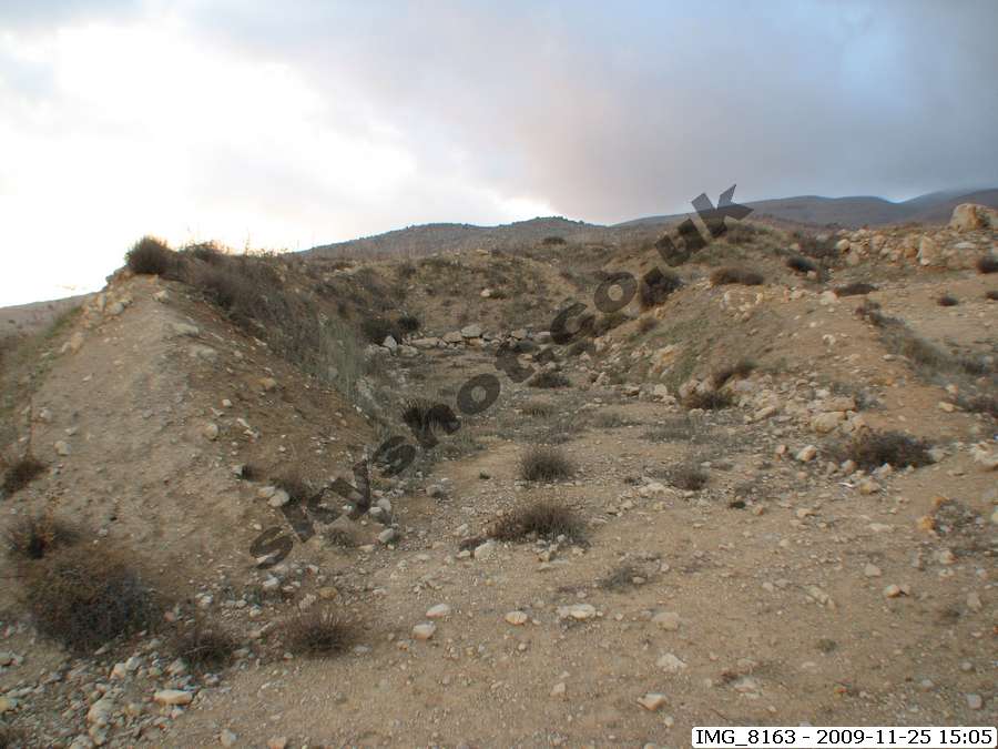
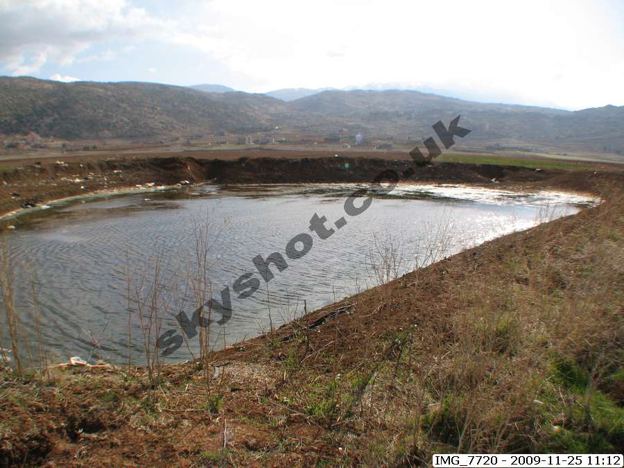
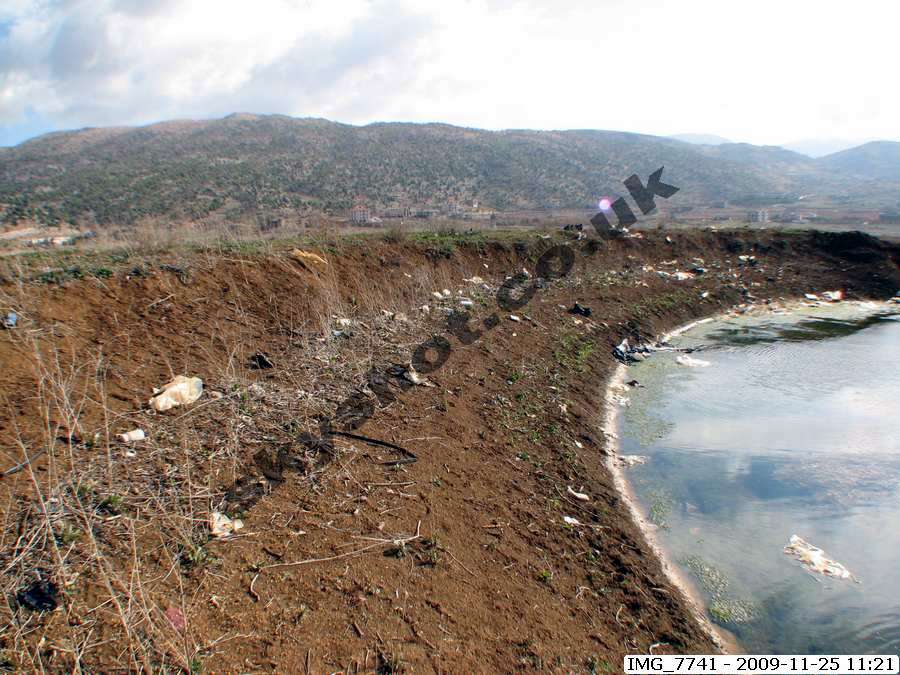
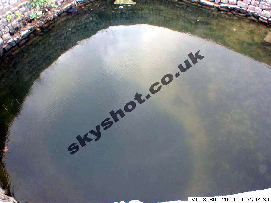
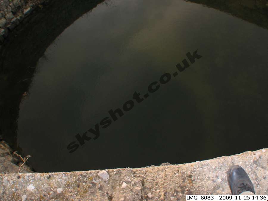
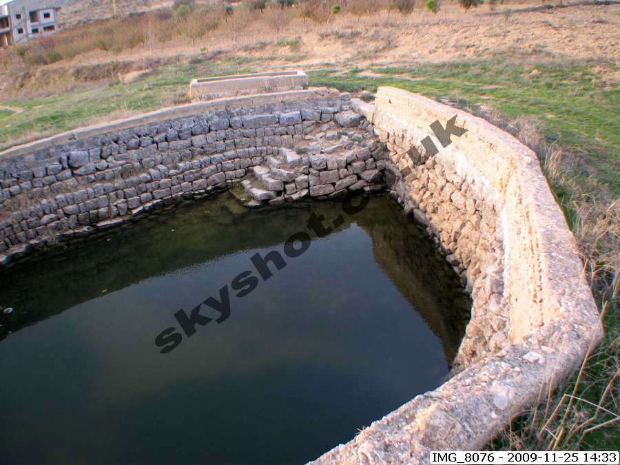
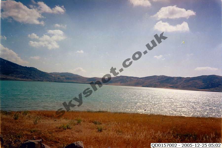
pastures, orchards and plantations are self evident. The dam and reservoir features in the valley below Kfar Qouq, to provided for the necessary
irrigation during the full growing season, are clear to see despite thousands of years of erosion and human activity.
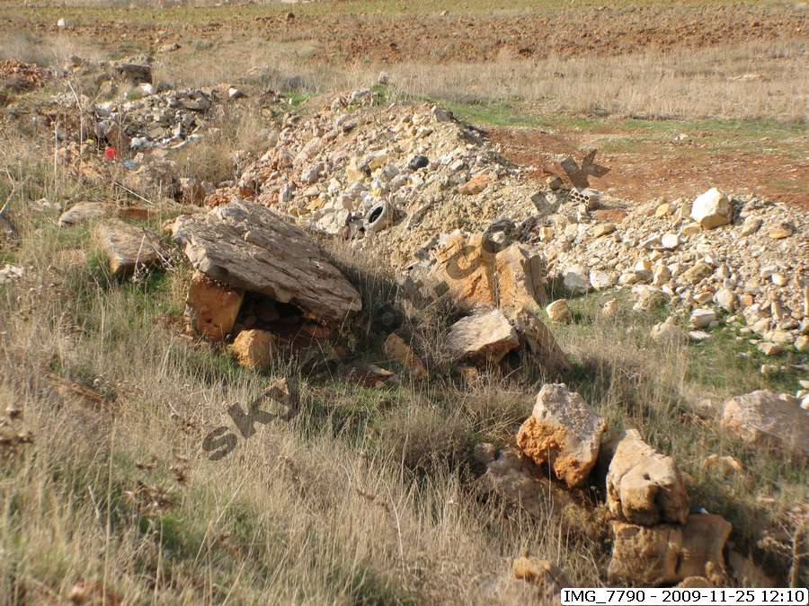
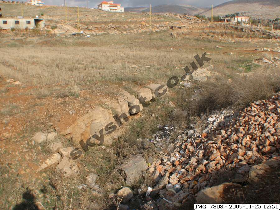
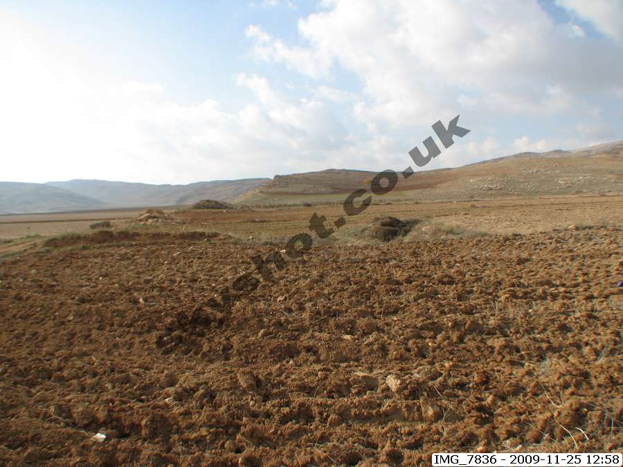
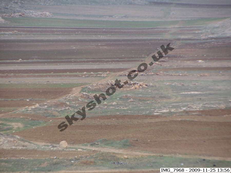
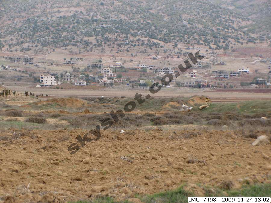
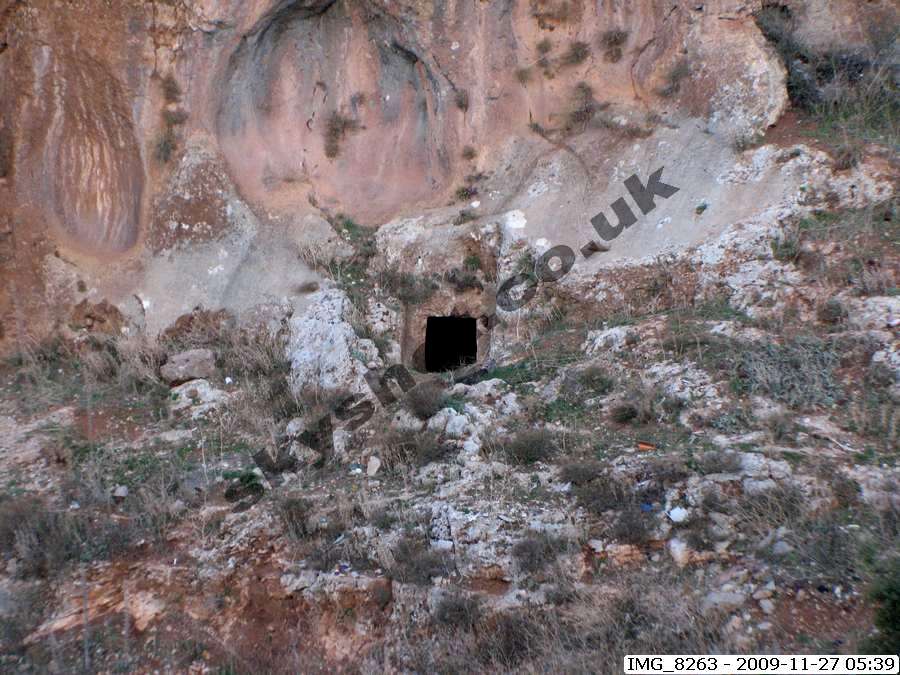
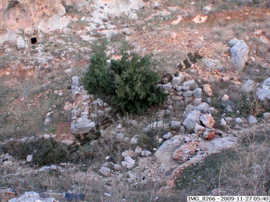
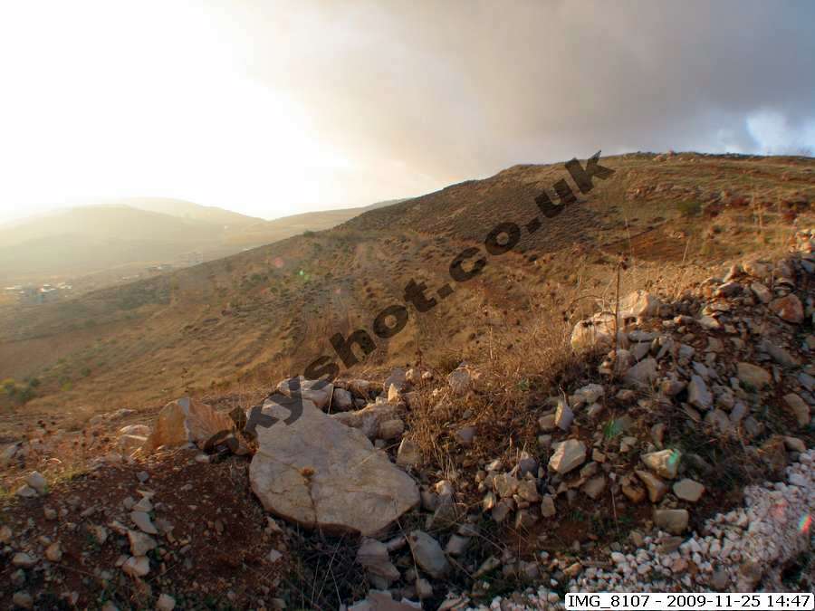
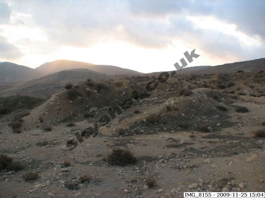
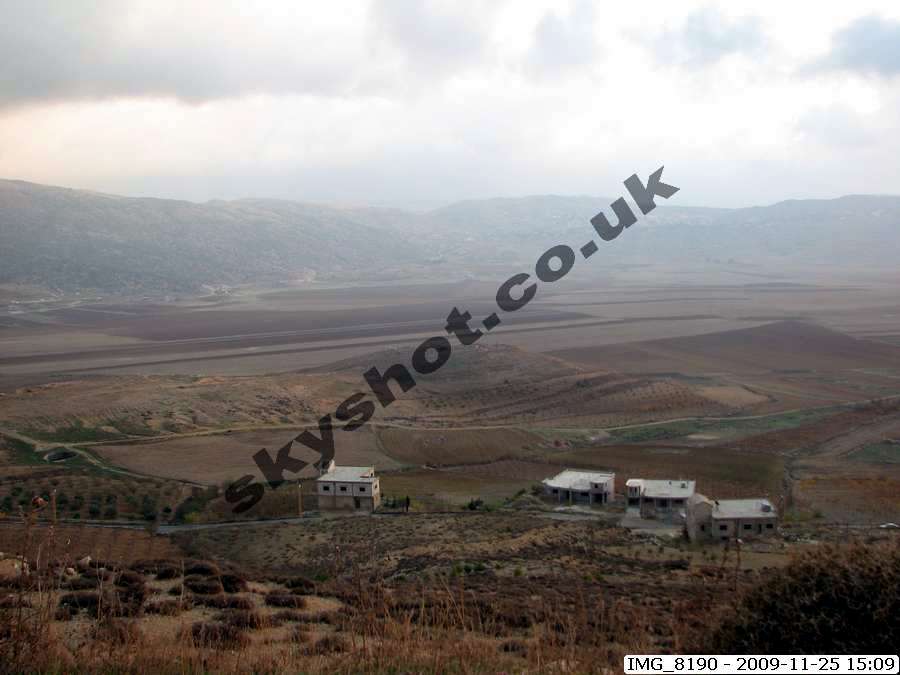
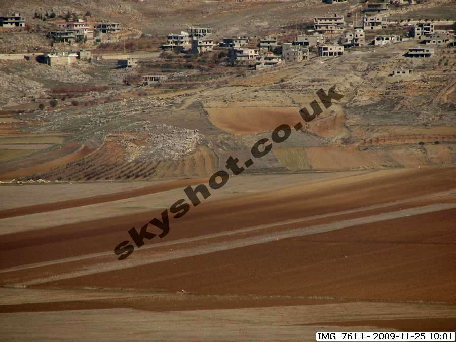
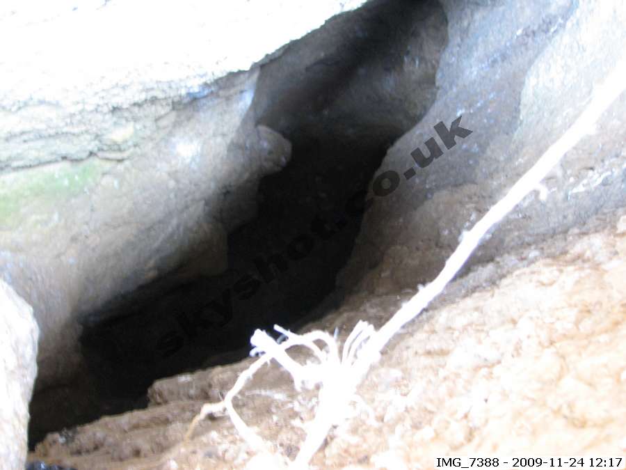
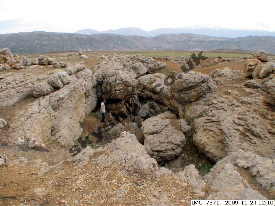
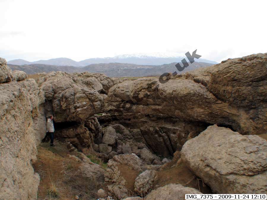
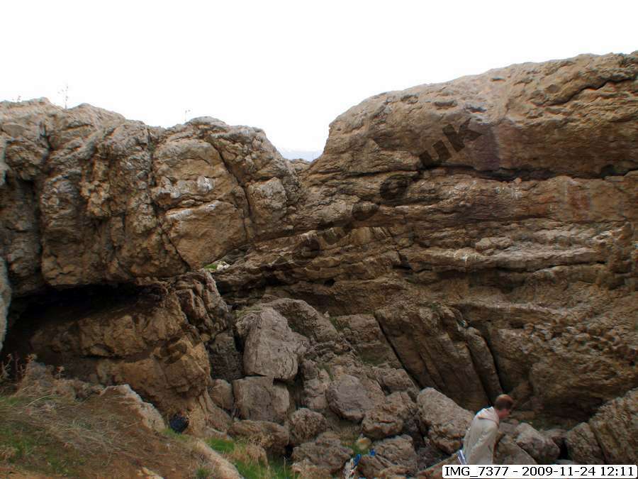
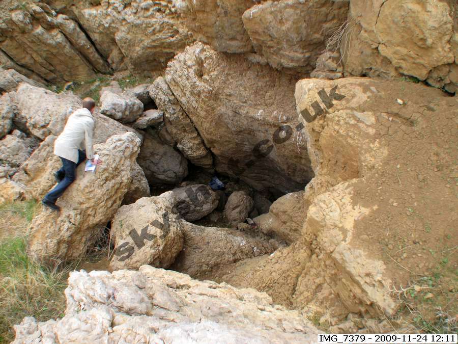
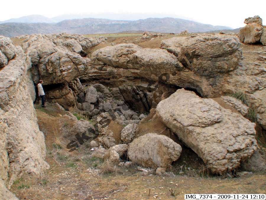
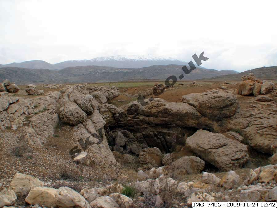
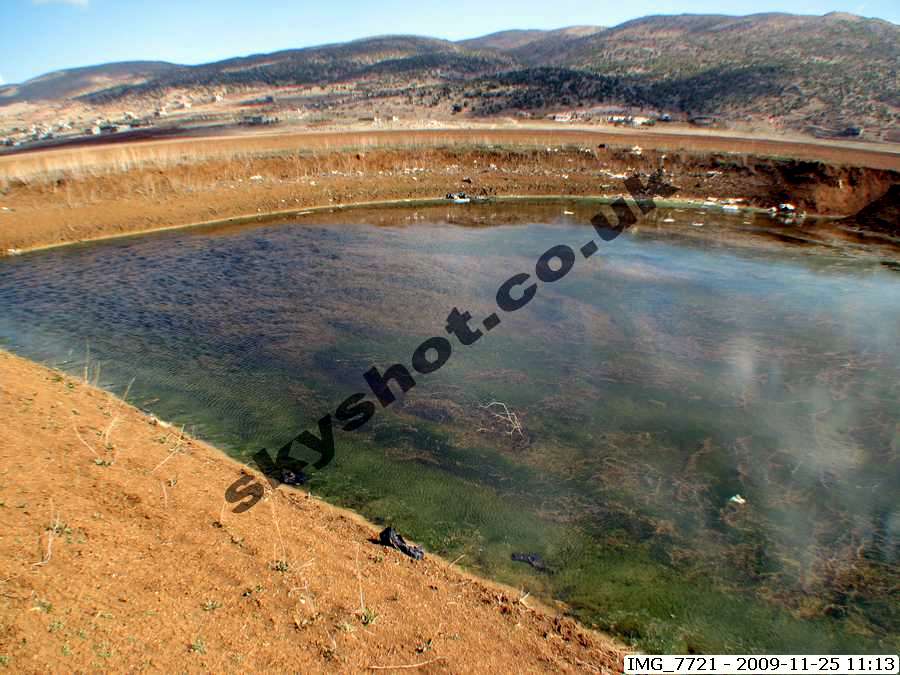
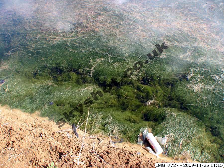
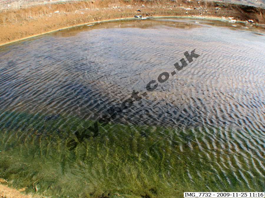
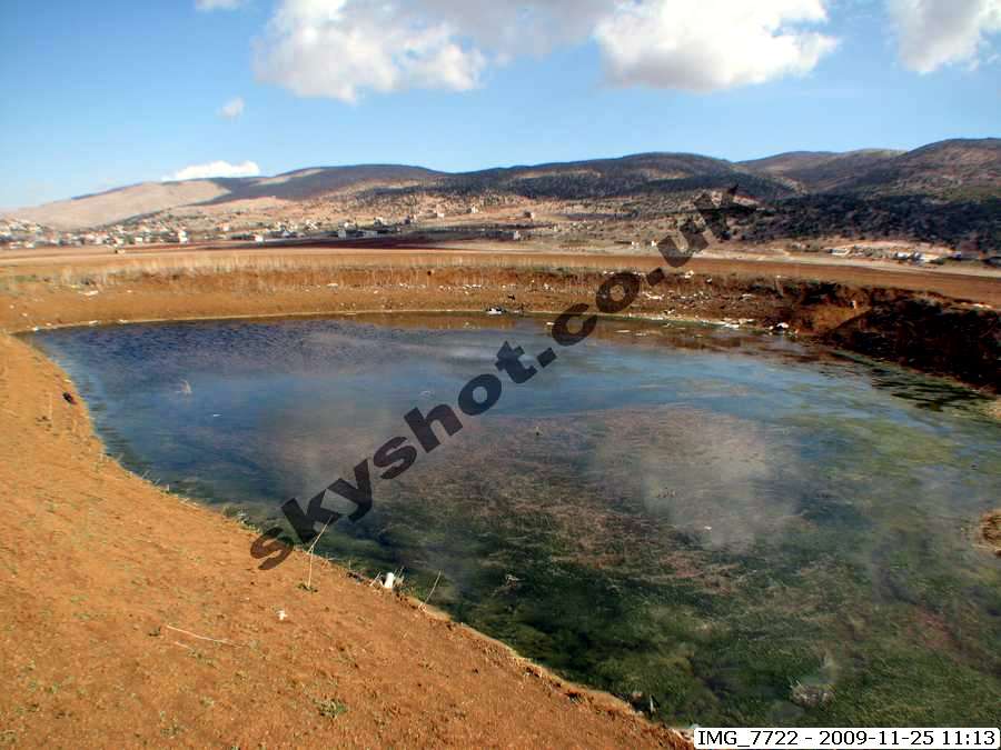
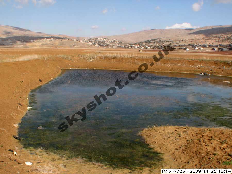
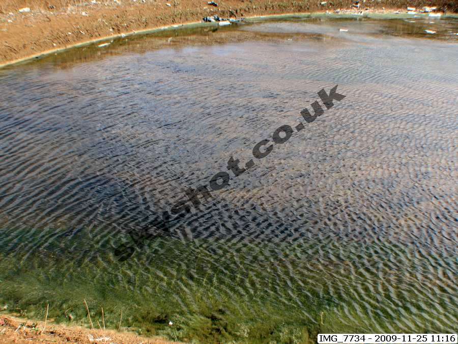
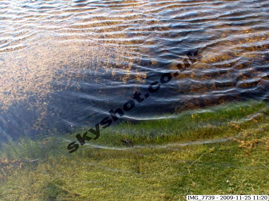
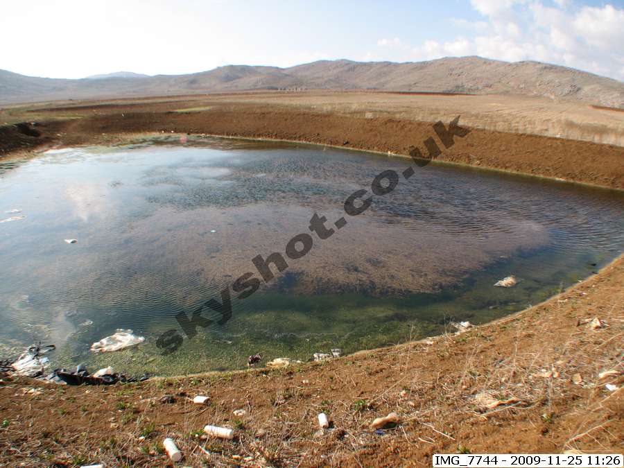
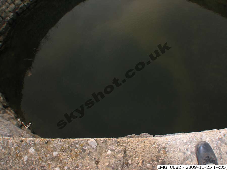
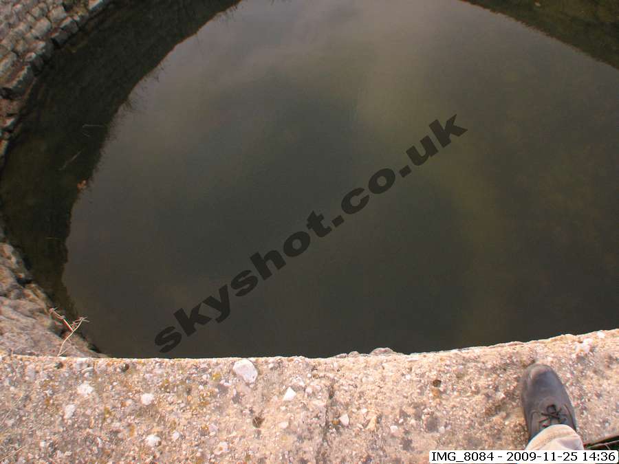
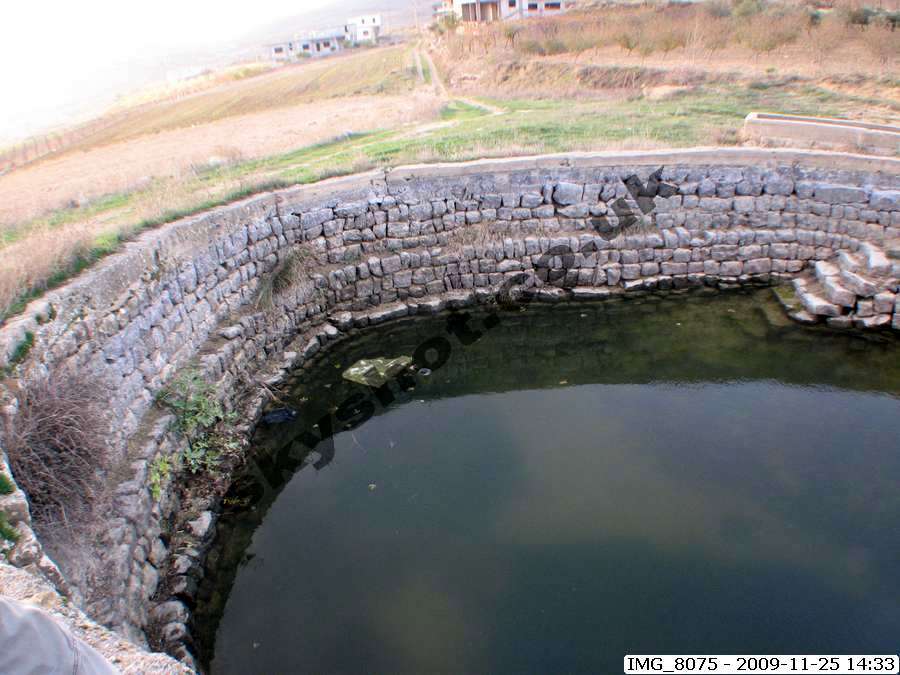
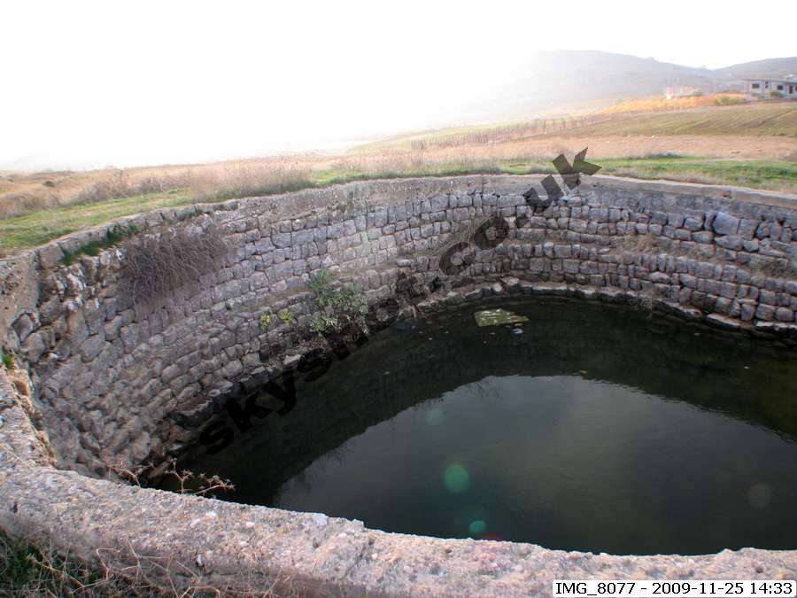
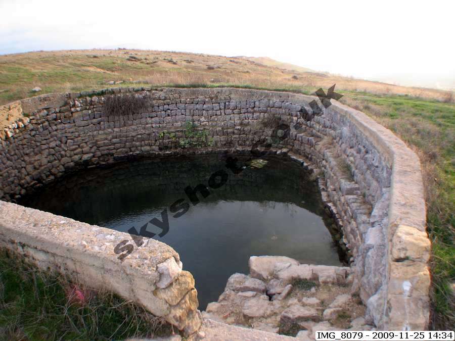
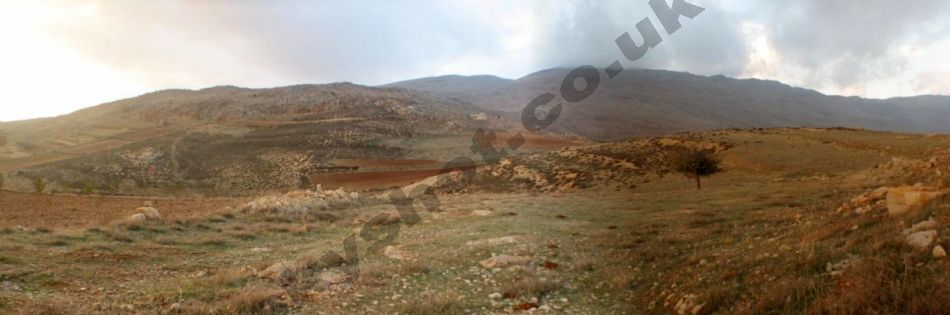
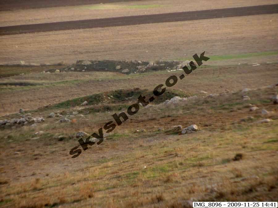
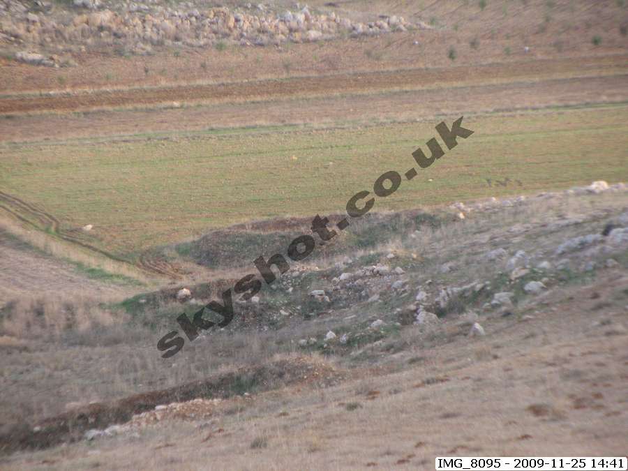
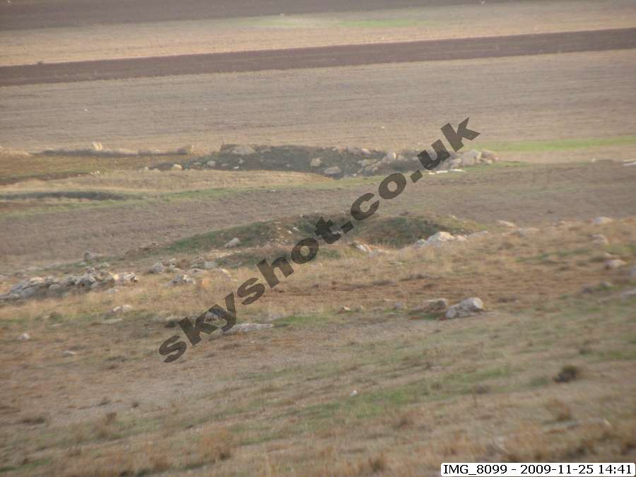
The main feature of level southern basin is a natural sink hole, which may well have been enlarged and used to control the level of the water table in the basin,
which extends to more than 2,000 acres. Tests by
Lebanese Red Cross staff using dye a few years ago, demonstrated that water which passed down the sink hole came
out in the Hasbani river some three mile distant
beyond the Wadi en Neirab. One or more of the basin wells appear to be blocked. A central unblocked basin
well may on investigation including geophysical and x-ray surveys show that there is an underground system of tunnels distributing ground water to these wells.
This feature is mentioned several times in the
Qur'an .
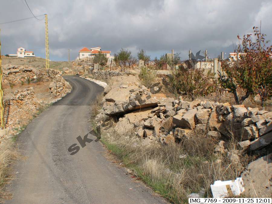
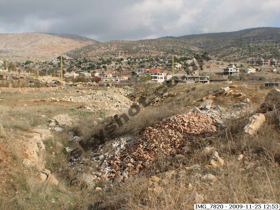
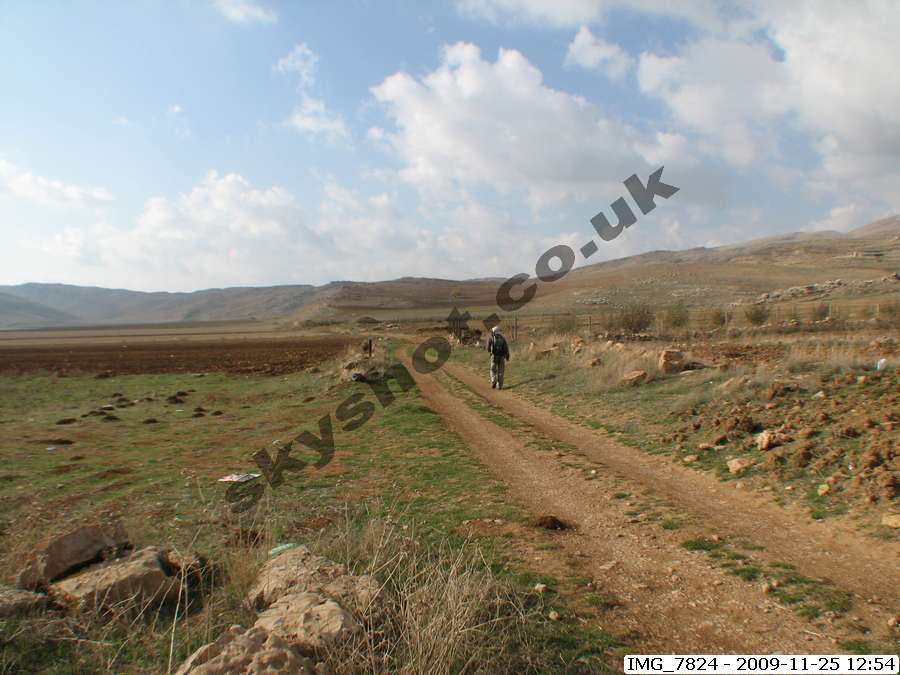
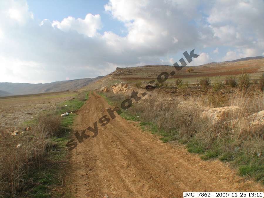
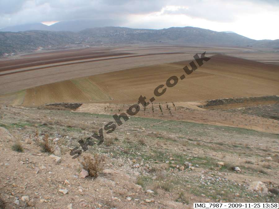
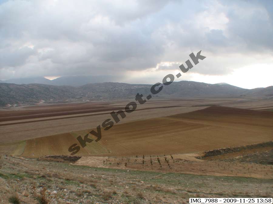
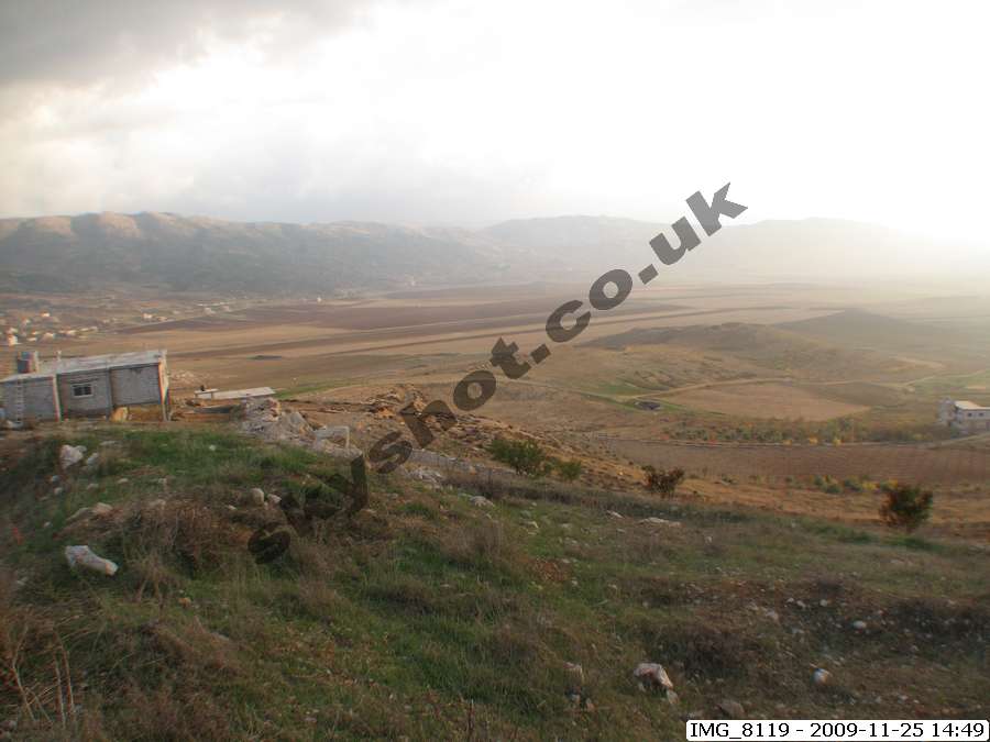
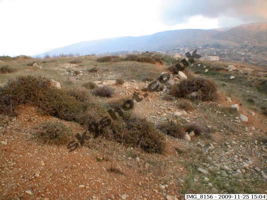
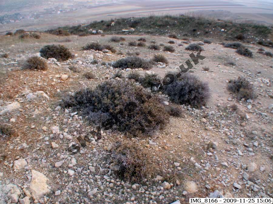
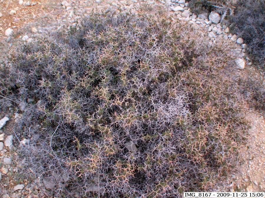
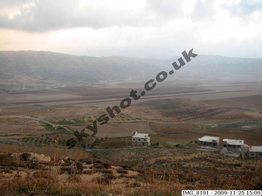
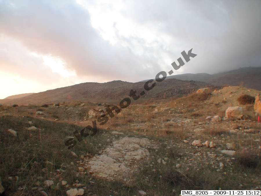
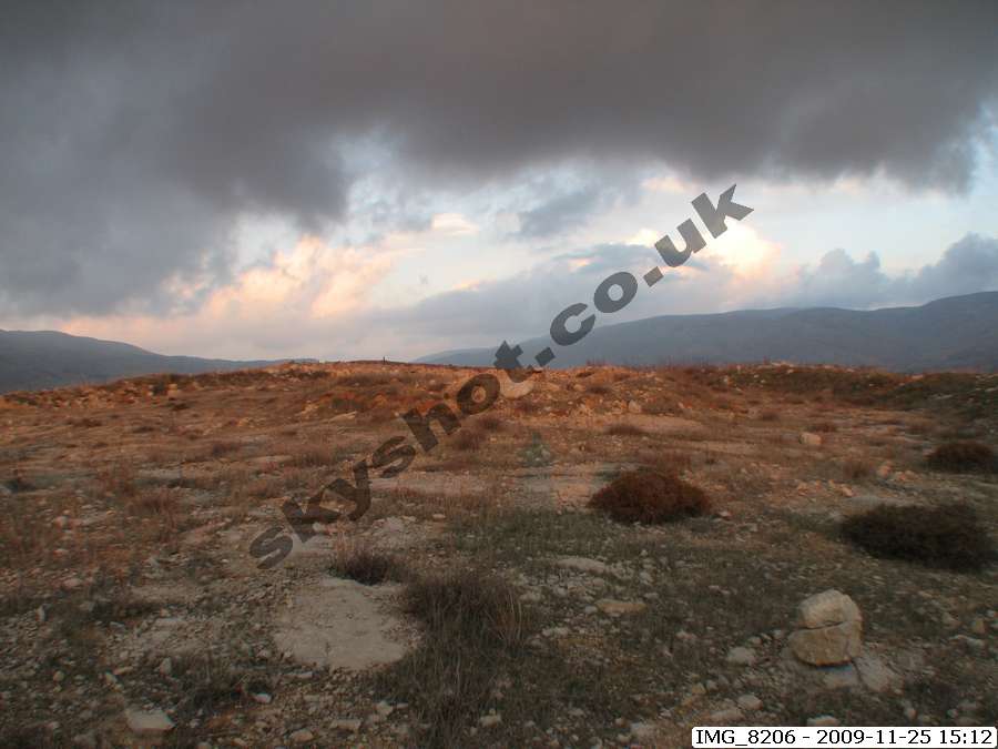
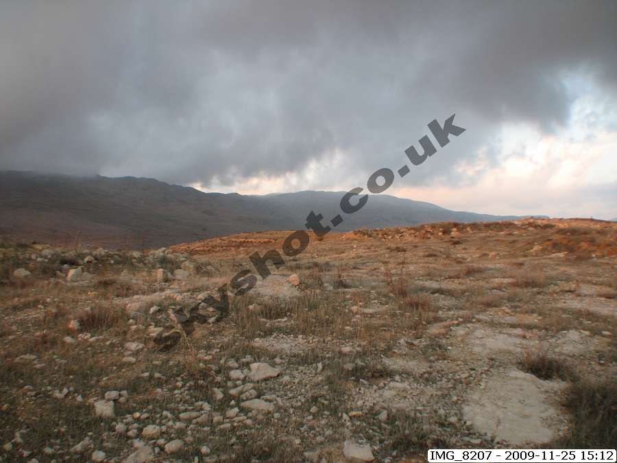
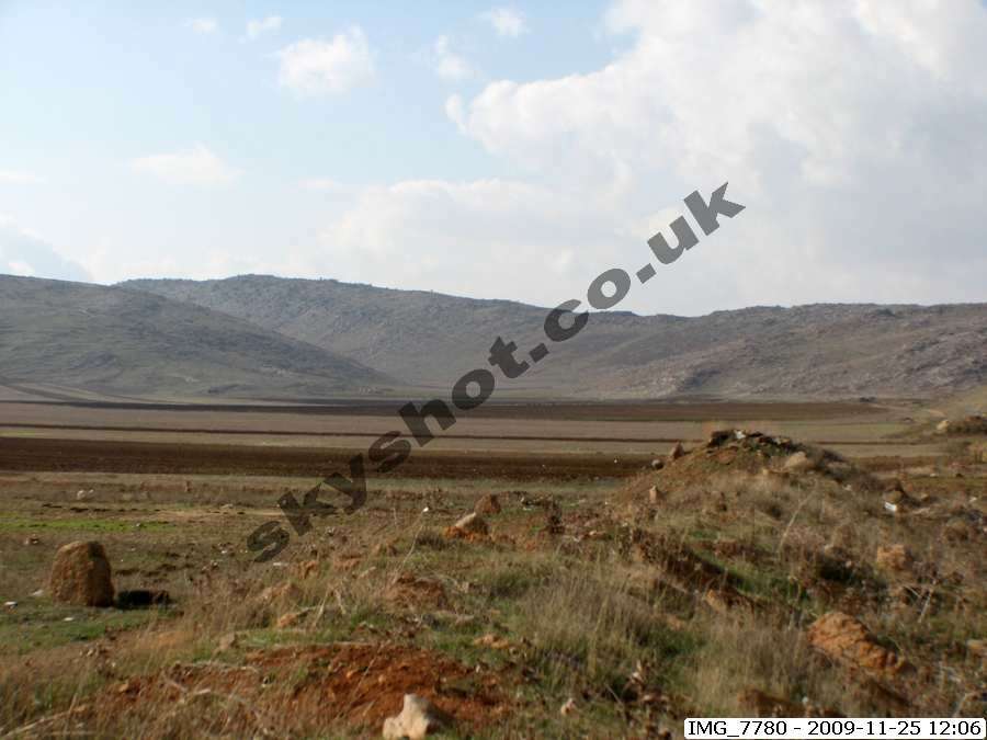
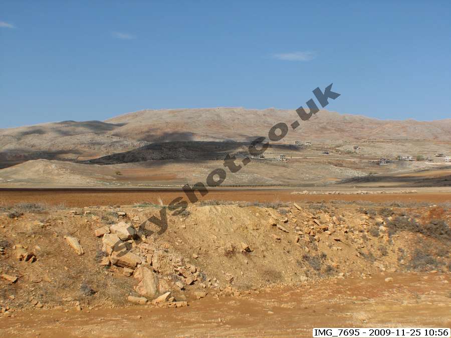
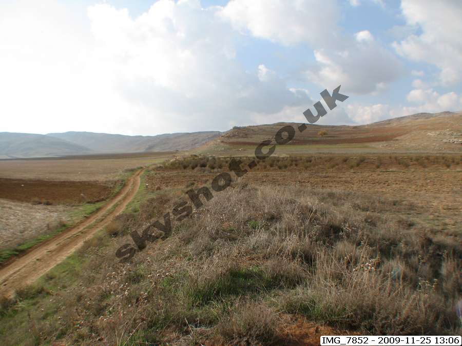
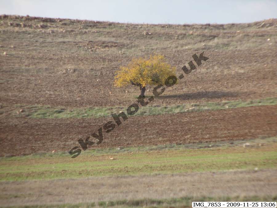
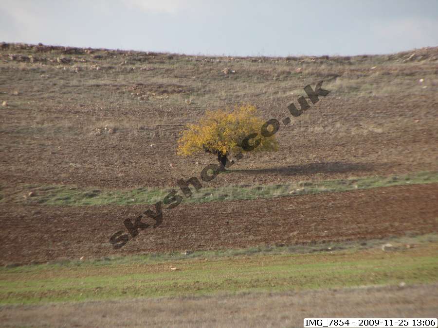
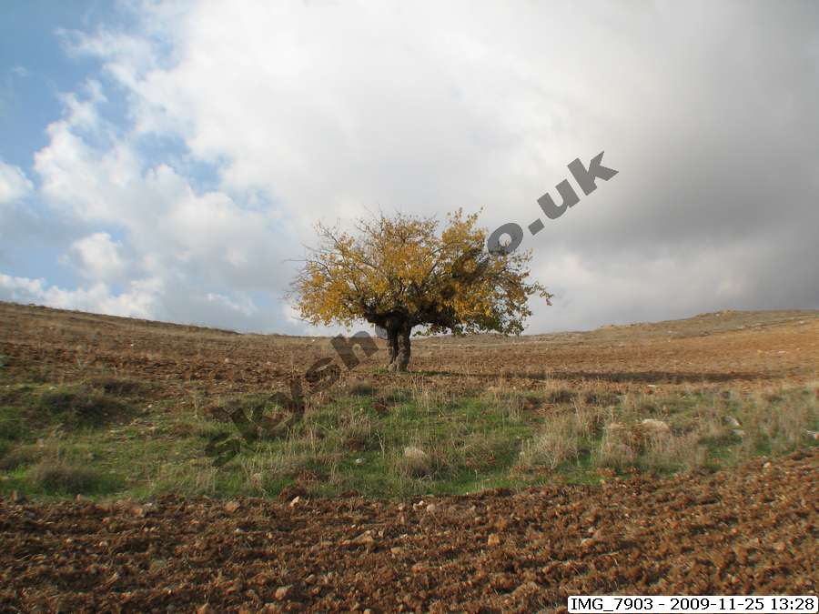
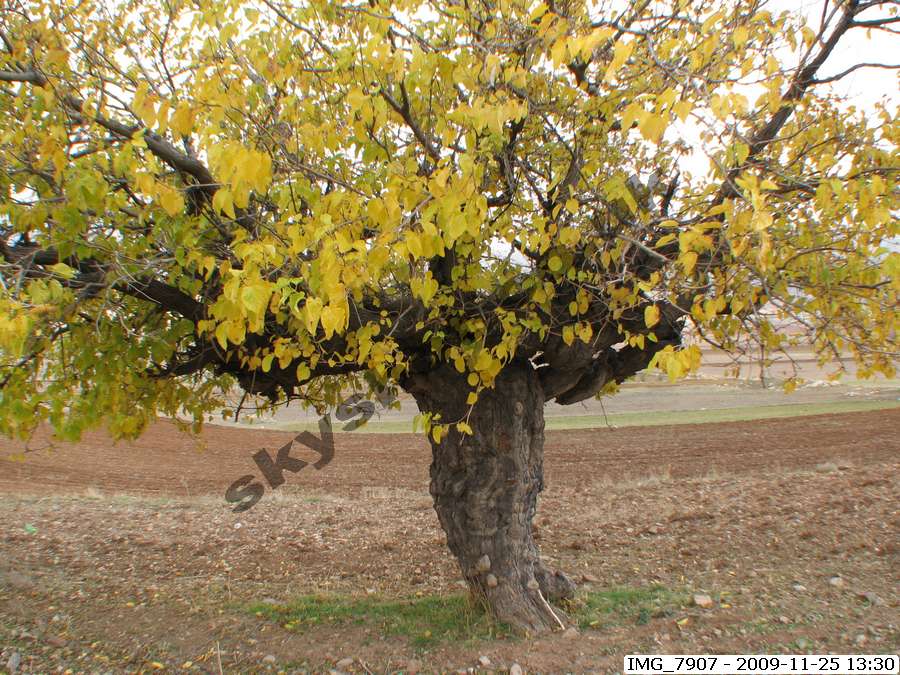
The map below offers a current view of the Garden of Eden as it is today, the pictures are from our survey of the Garden
in November 2009.